ATCHISON COUNTY, KANSAS LUXEMBOURGERS
This website is to give everyone who descends from the group of Luxers to the Mt. Pleasant area of Atchison Kansas a common place to explore their heritage.
Home
Search
Links
Documents
Places
Gallery
Last Names
Finding PLACES in the Family Tree Database
Relationships
Timeline
Branches
Calendar
Blog
Birthplaces
Genealone
Overview of ENTIRE WEBSITE
Suggest new information
Log in
or
Register
Gallery
Browse whole gallery
Next
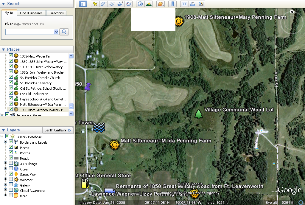
AERIELMAP: Mt_Pleasant_East
AERIELMAP: Mt_Pleasant_East_1
AERIELMAP: Mt_Pleasant_East_3
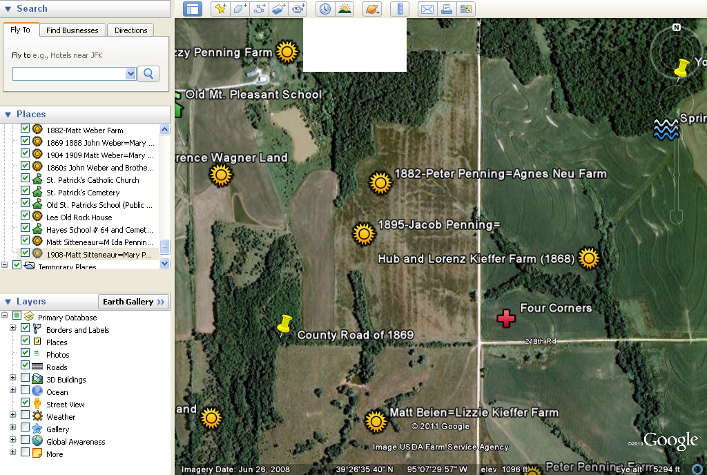
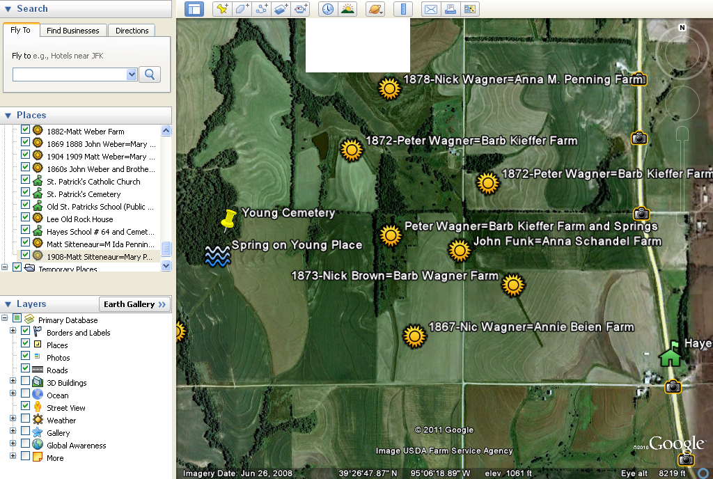
AERIELMAPS: Mt_Pleasant_East_Central
AERIELMAPS: Mt_Pleasant_East2
AERIELMAPS: Mt_Pleasant_South_Central
AERIELMAPS: Mt_Pleasant_South_East
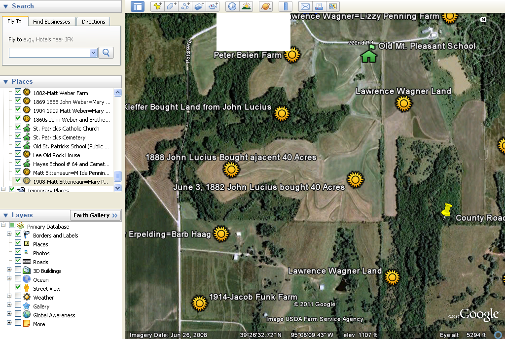
AERIELMAPS: Mt_Pleasant_Southwest
AERIELMAPS: Mt_Pleasant_West
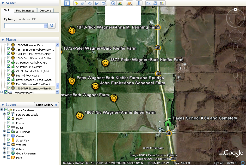
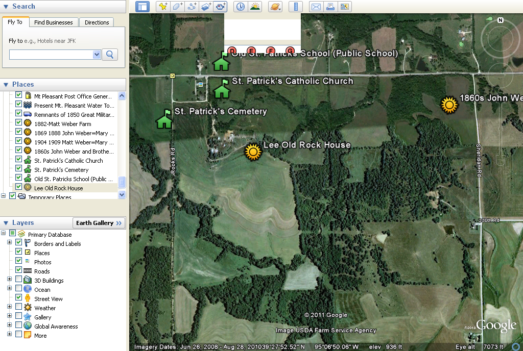
AERIELMAPS:St_Pats_Area
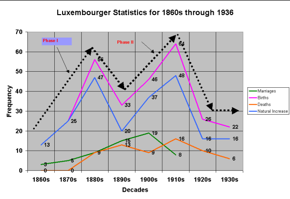
DEMOGRAPHICS: Composite Demographics of Luxers at Mt. Pleasant
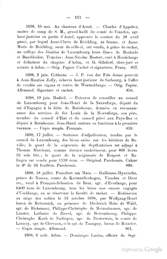
DOCUMENT: Dominic Lucius Notary and Castle Official at Septfontaines
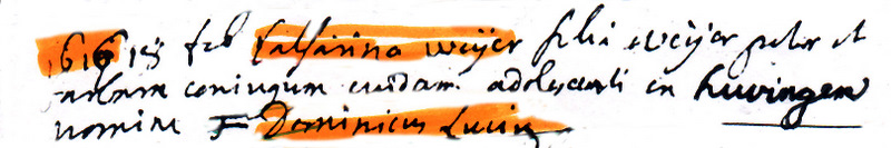
DOCUMENT: Marriage of Dominic Lucius and Catherine Weyer
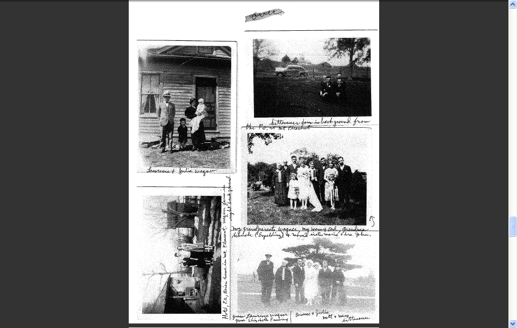
FAMILYPICTURES: Pictures of Wagner Families
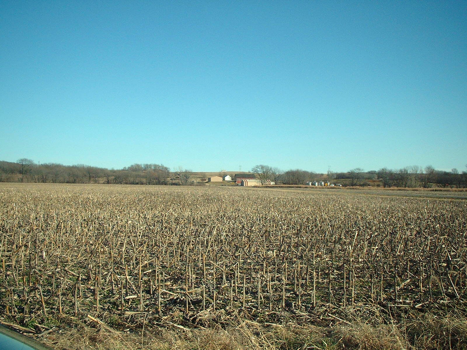
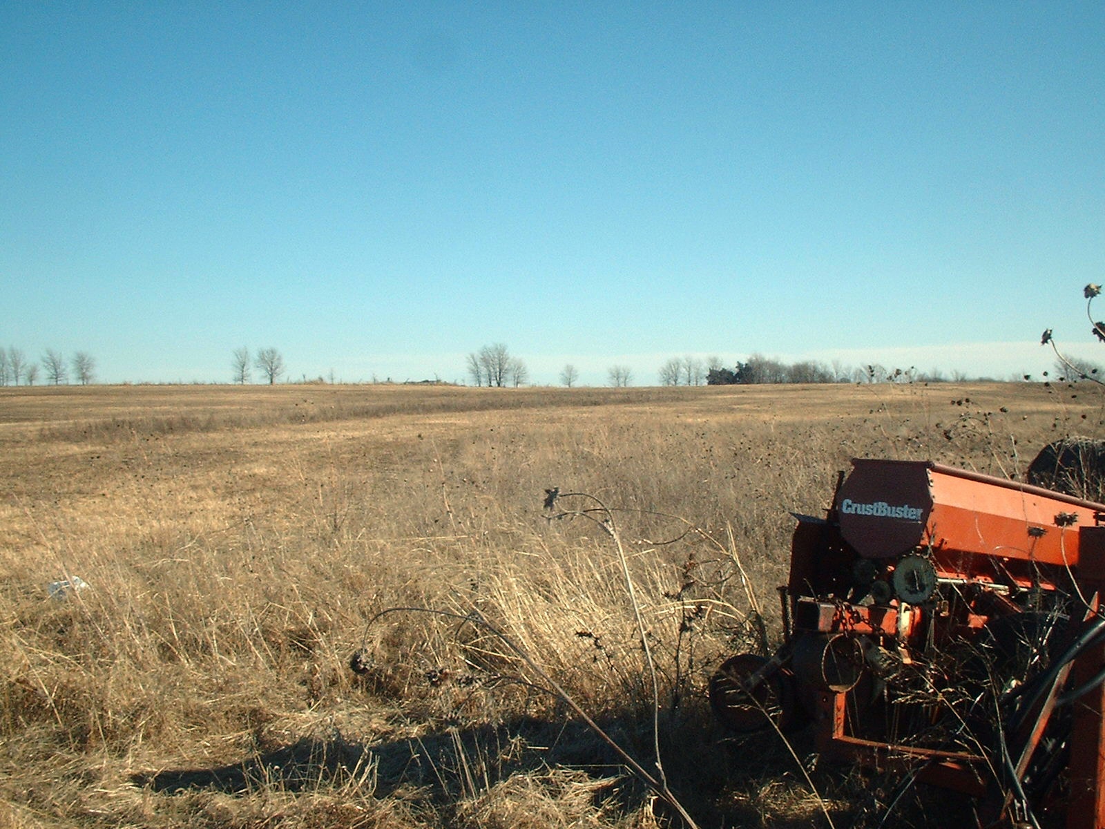
FARMS-Corpstein/ Greiner Lands East of Potter-1
FARMS: Corpstein/Greiner Lands East of Potter 2
FARMS: East Side of 4 Corners Road and John T. Wagner Land 1
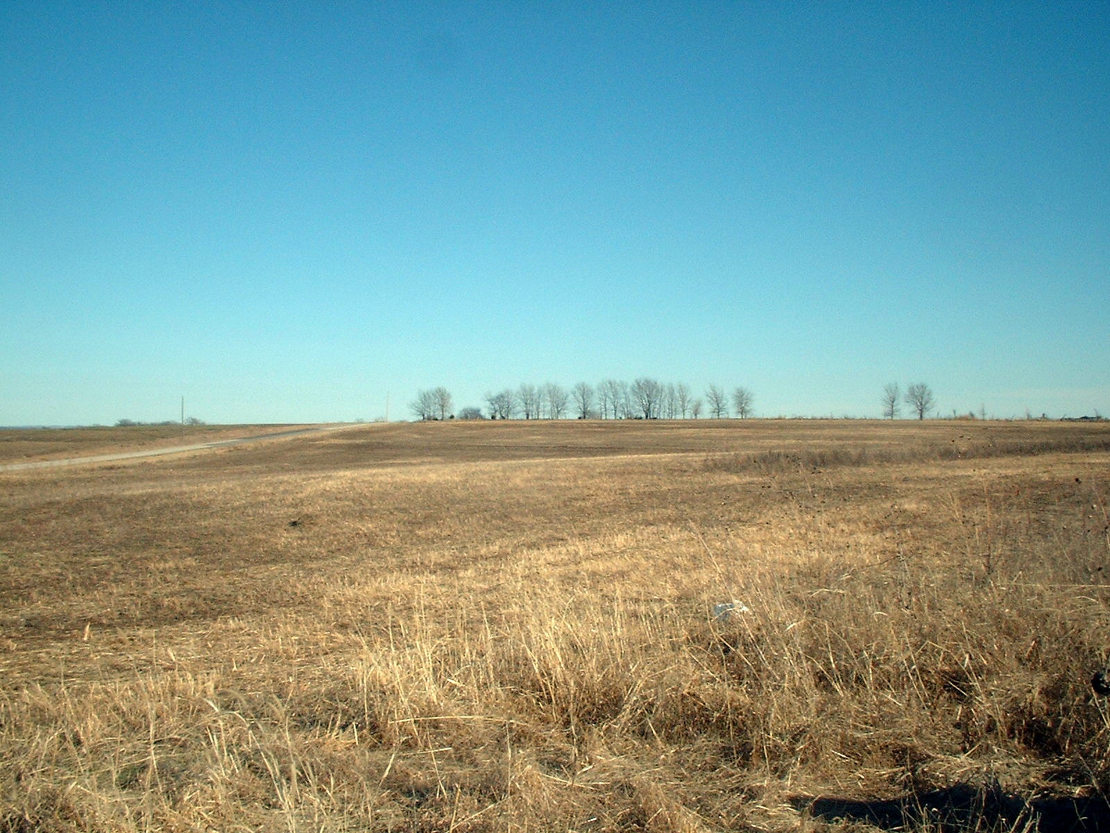
FARMS: Evergreen marks spot of Peter and Barbara Erpelding's Farm1
FARMS: Evergreen marks spot of Peter and Barbara Erpelding's Farm2
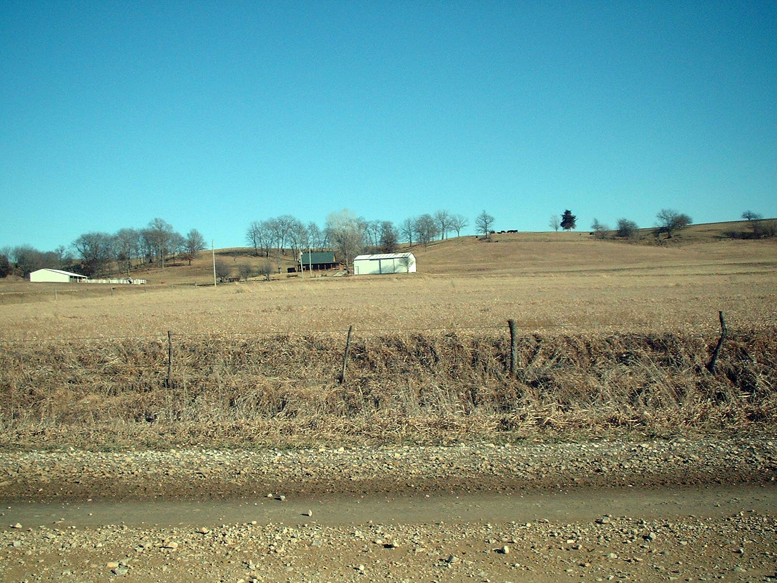
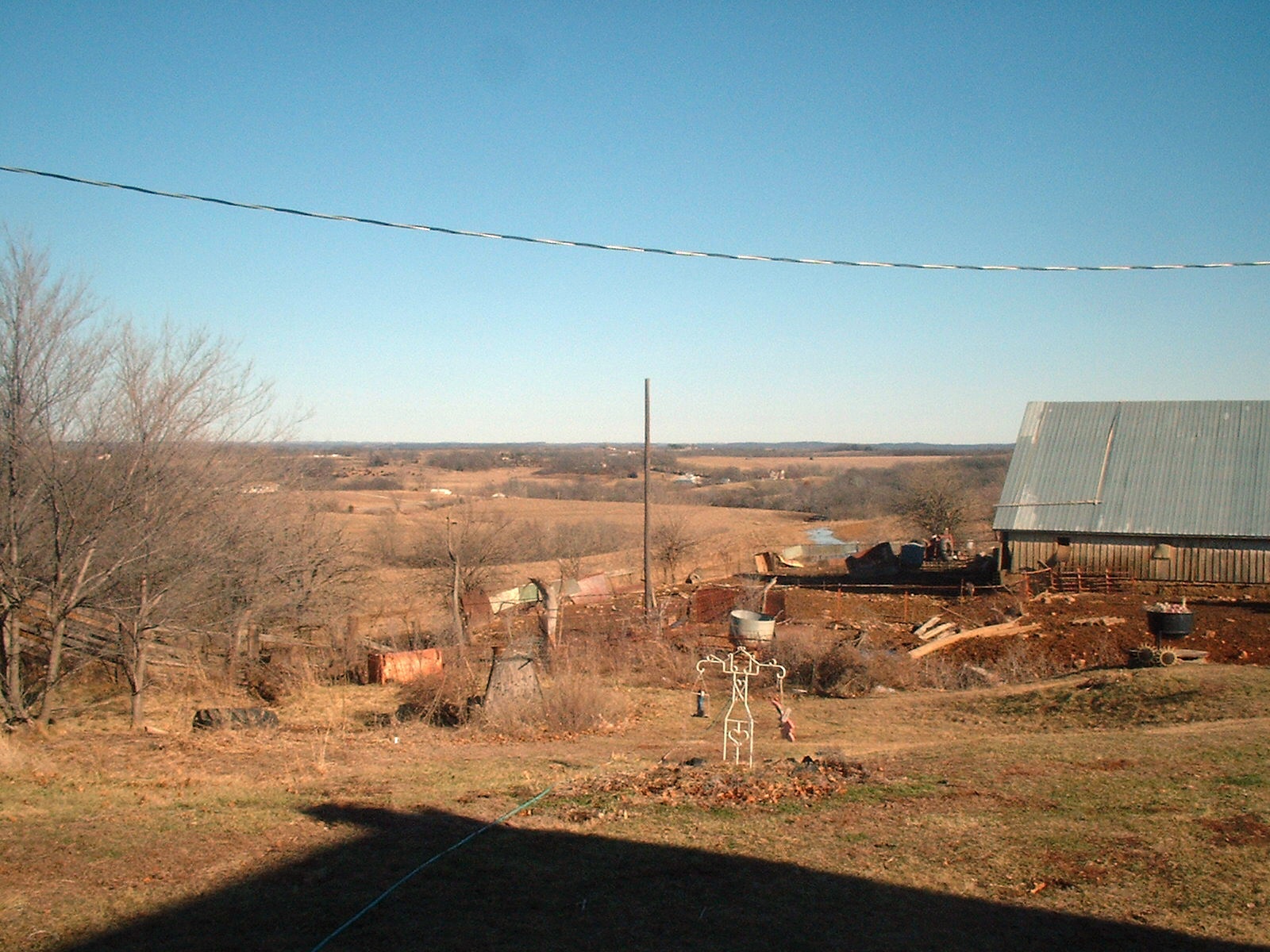
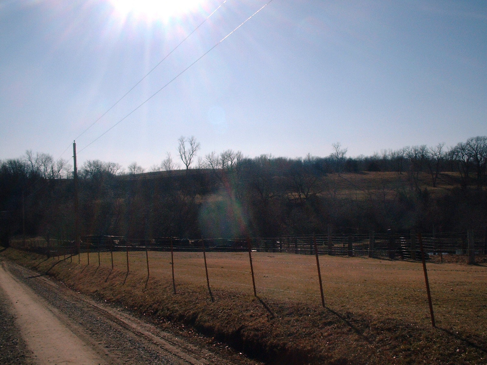
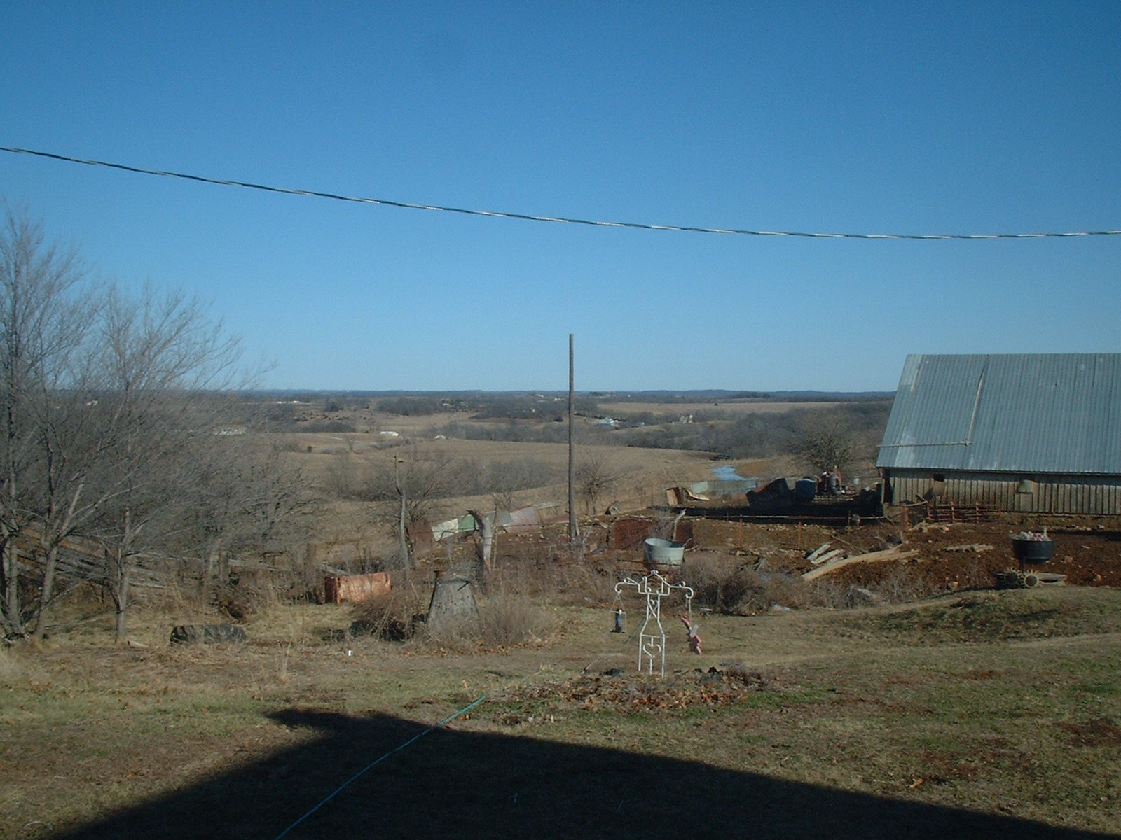
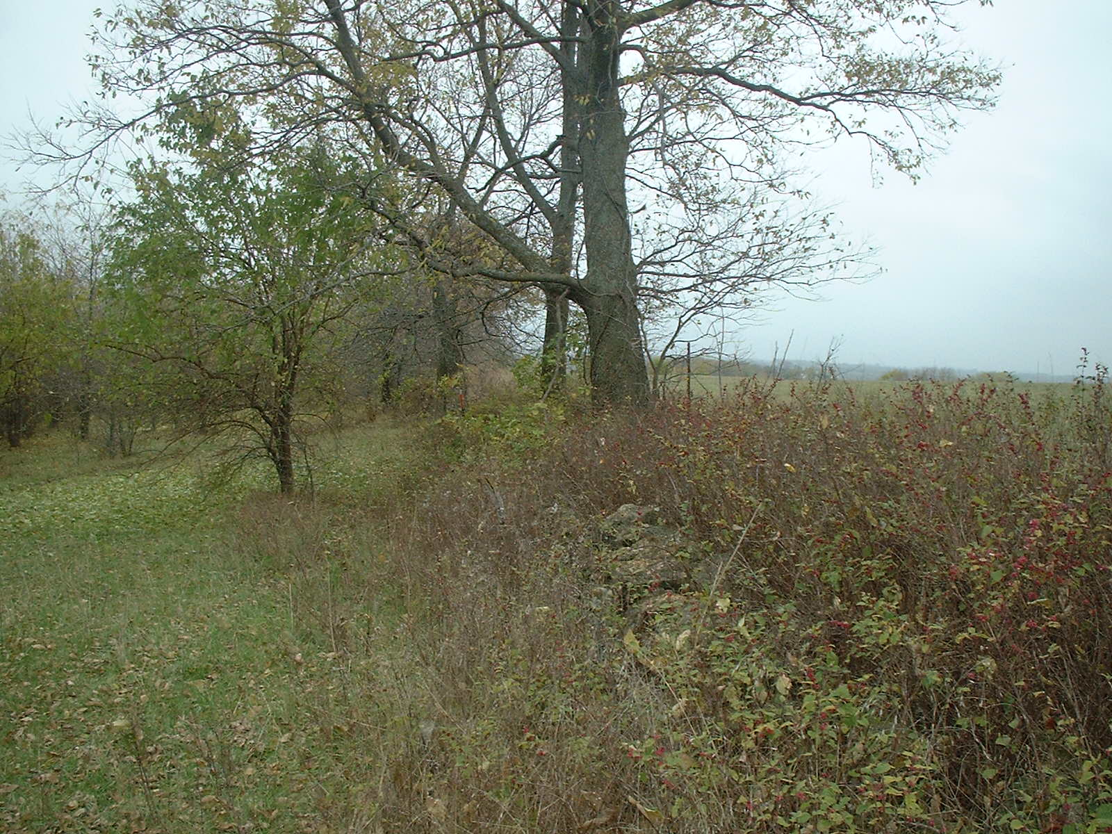
FARMS: From Lee Farm Looking out to Missouri River Valley
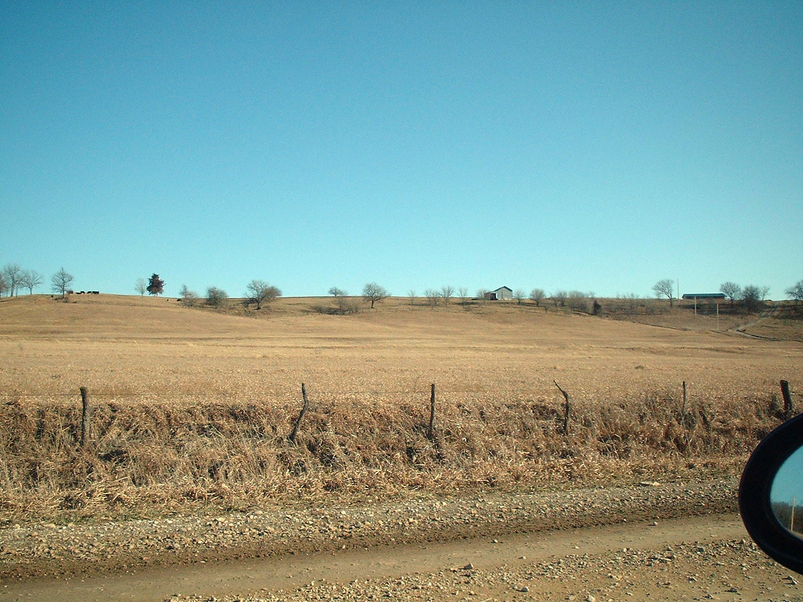
FARMS: From Old Hub Kieffer farm on right horizon to St. Pat's area on left horizon north of Nick Wagner's Farm
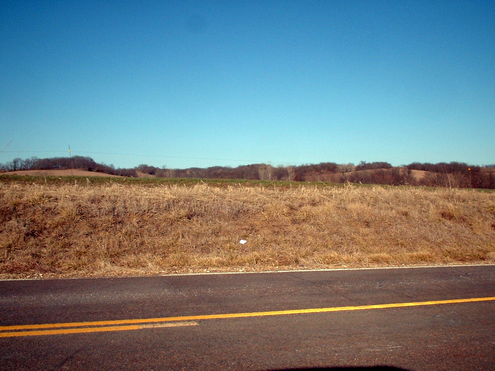
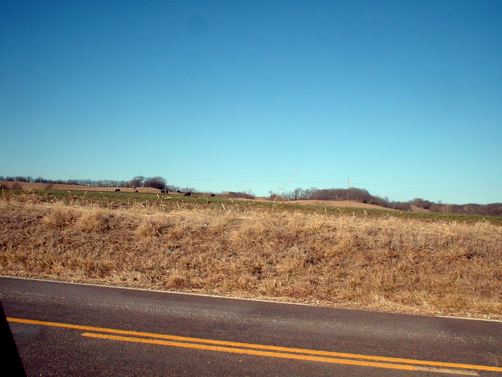
FARMS: Highway east of Potter and Greiner and Corpstein Farmland
FARMS: Horizon of Original Hub Kieffer and John Weber Farm east of St. Pat's
FARMS: Hub Kieffer 1st farm looking west to St. Patrick's Church 2
FARMS: Hub Kieffer 1st farm looking west to St. Patrick's Church1
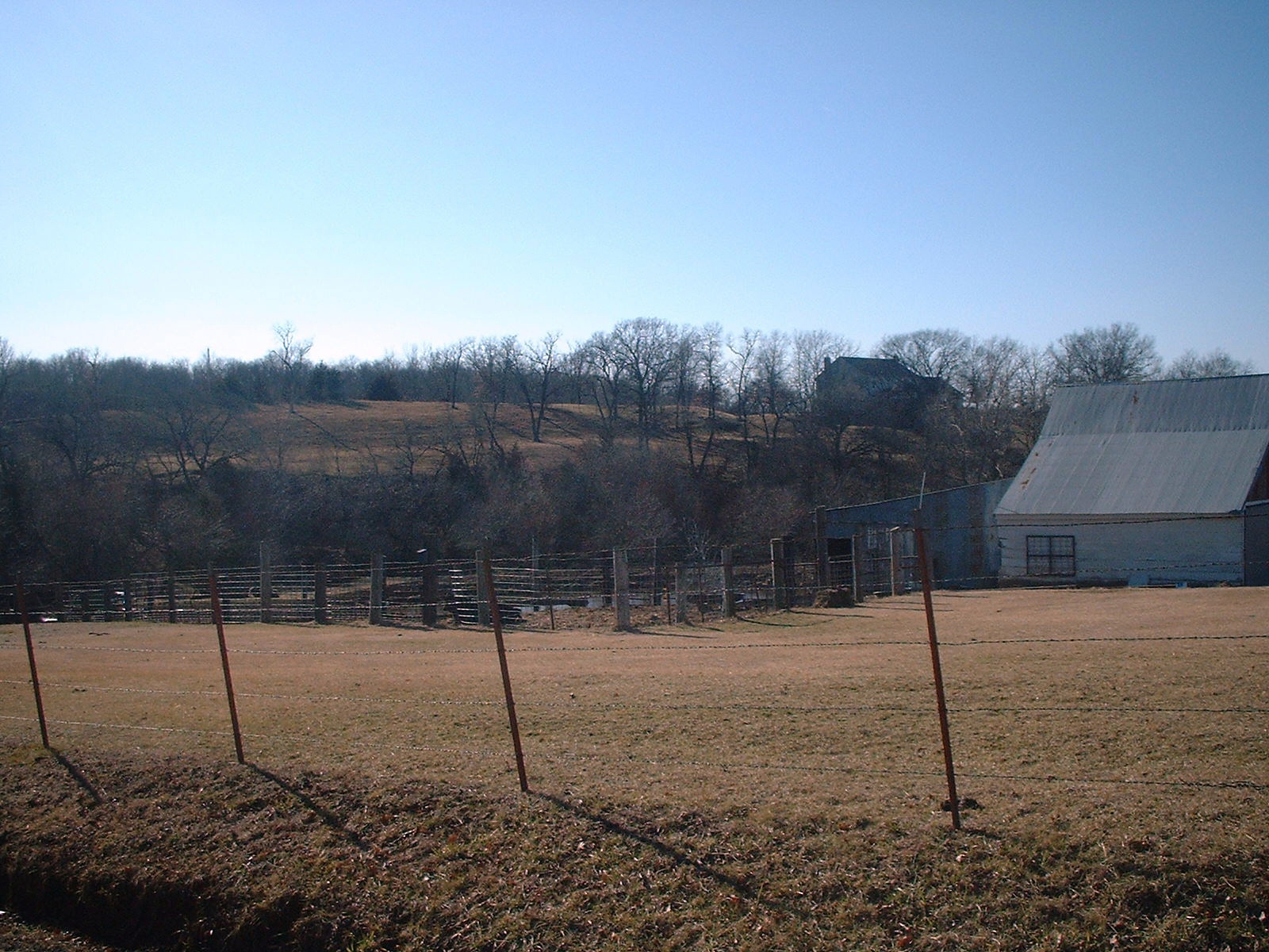
FARMS: Hub Kieffer Original Farm east of St. Pat's
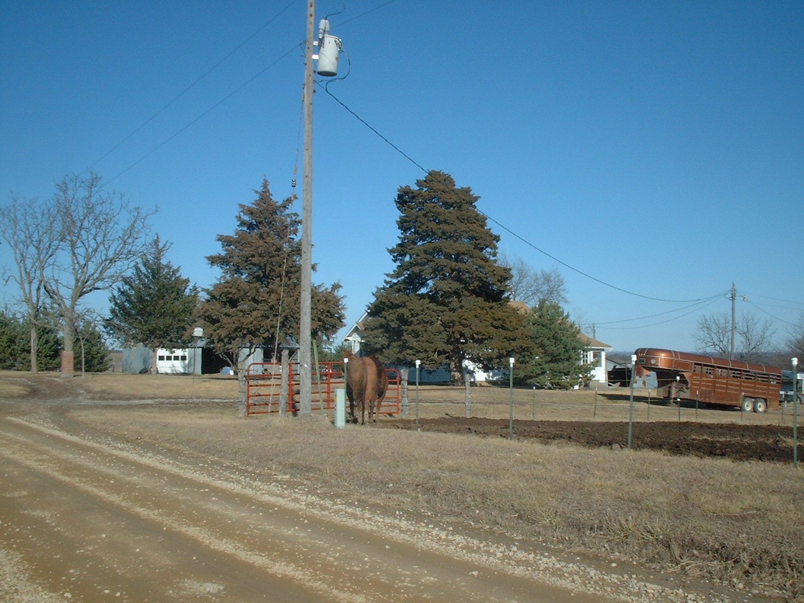
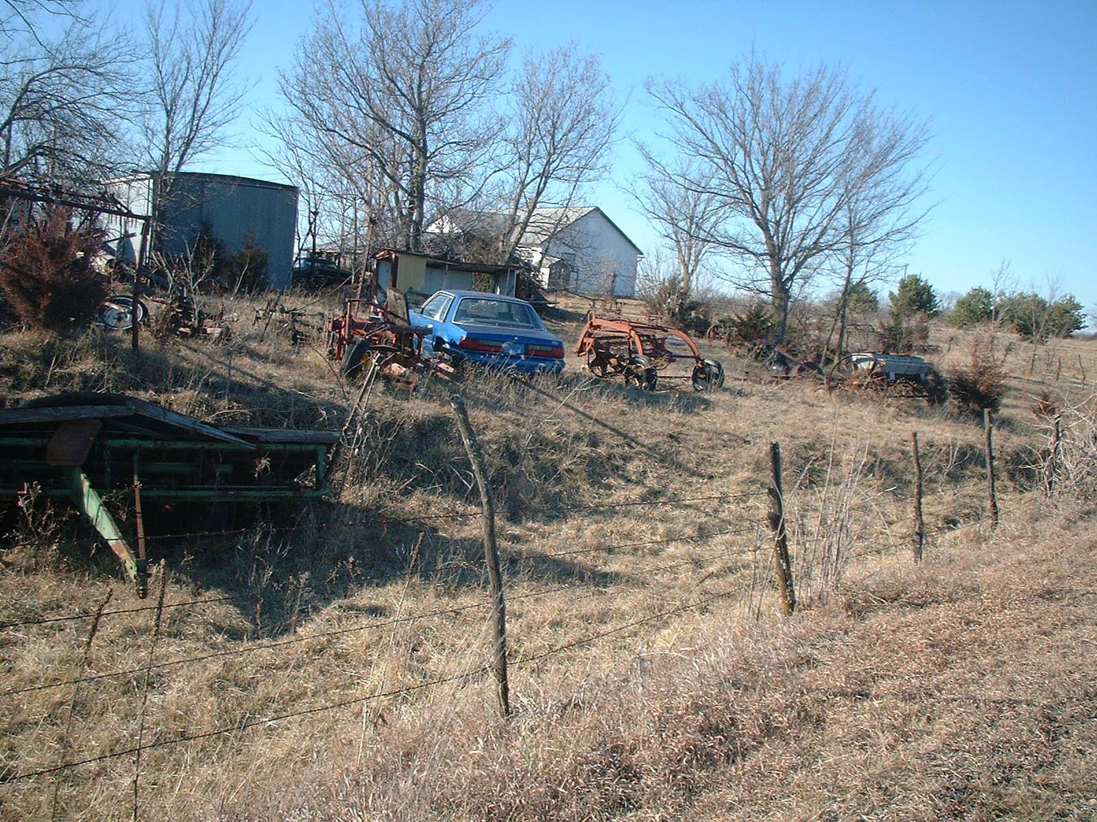
FARMS: John T. Wagner Farm
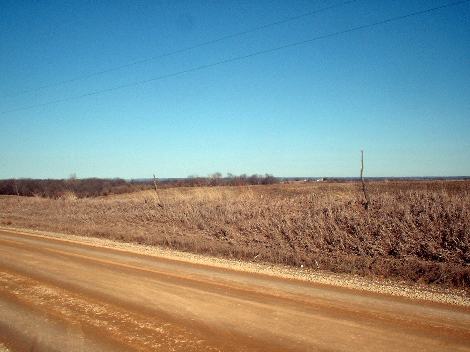
FARMS: John Weber's Farm 1
FARMS: John Weber's Farm 2
FARMS: John Weber's Farm at Mt. Pleasant
FARMS: Land on Horizon was Farm of John Lucius (1882) later sold to brother-in-Law Matt Beien
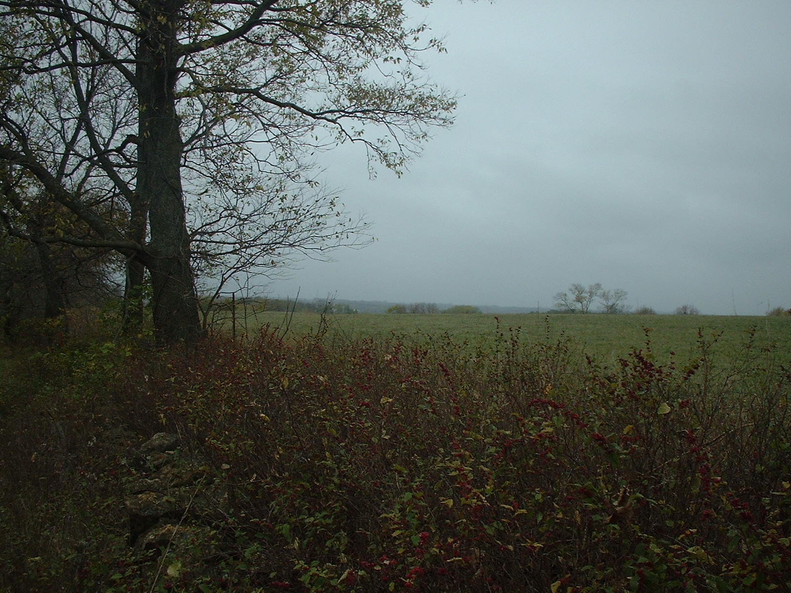
FARMS: Lee farm looking East toward Missouri River Valley
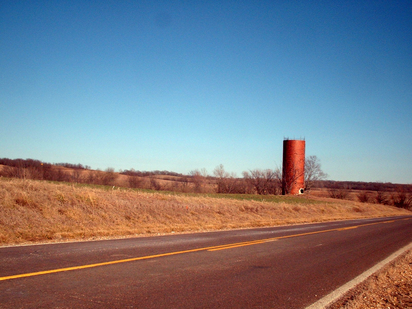
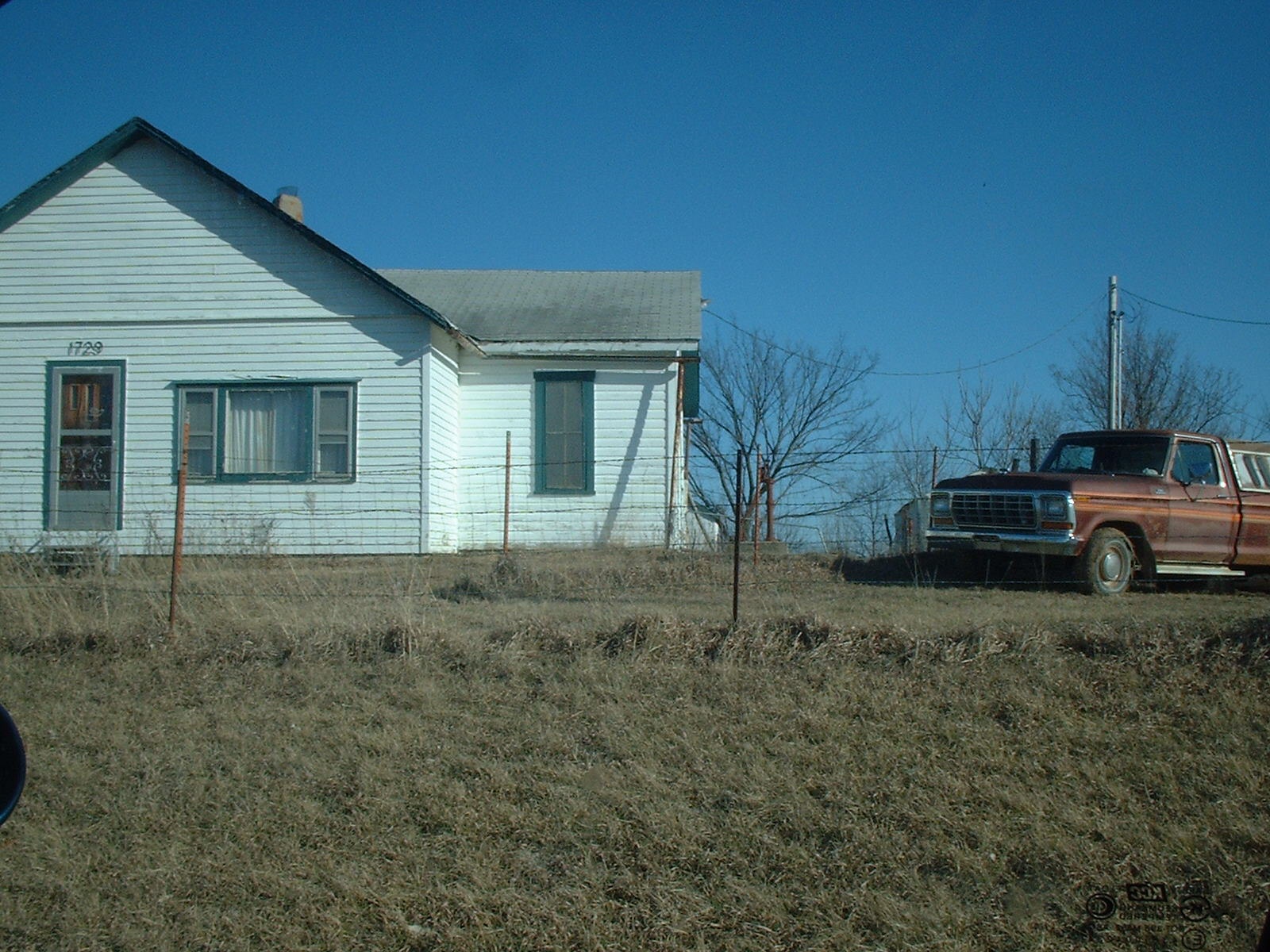
FARMS: Lee House from the East
FARMS: Looking East from Krier Farm to Missouri River Valley on Horizon
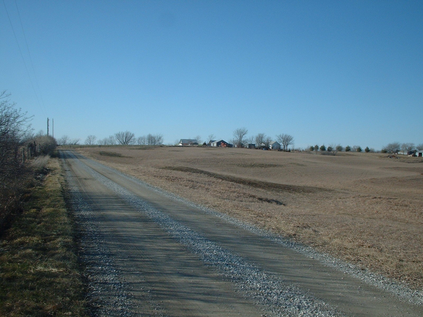
FARMS: Site of John Weber's 2nd farm to the west of Mt. Pleasant (on the horizon)
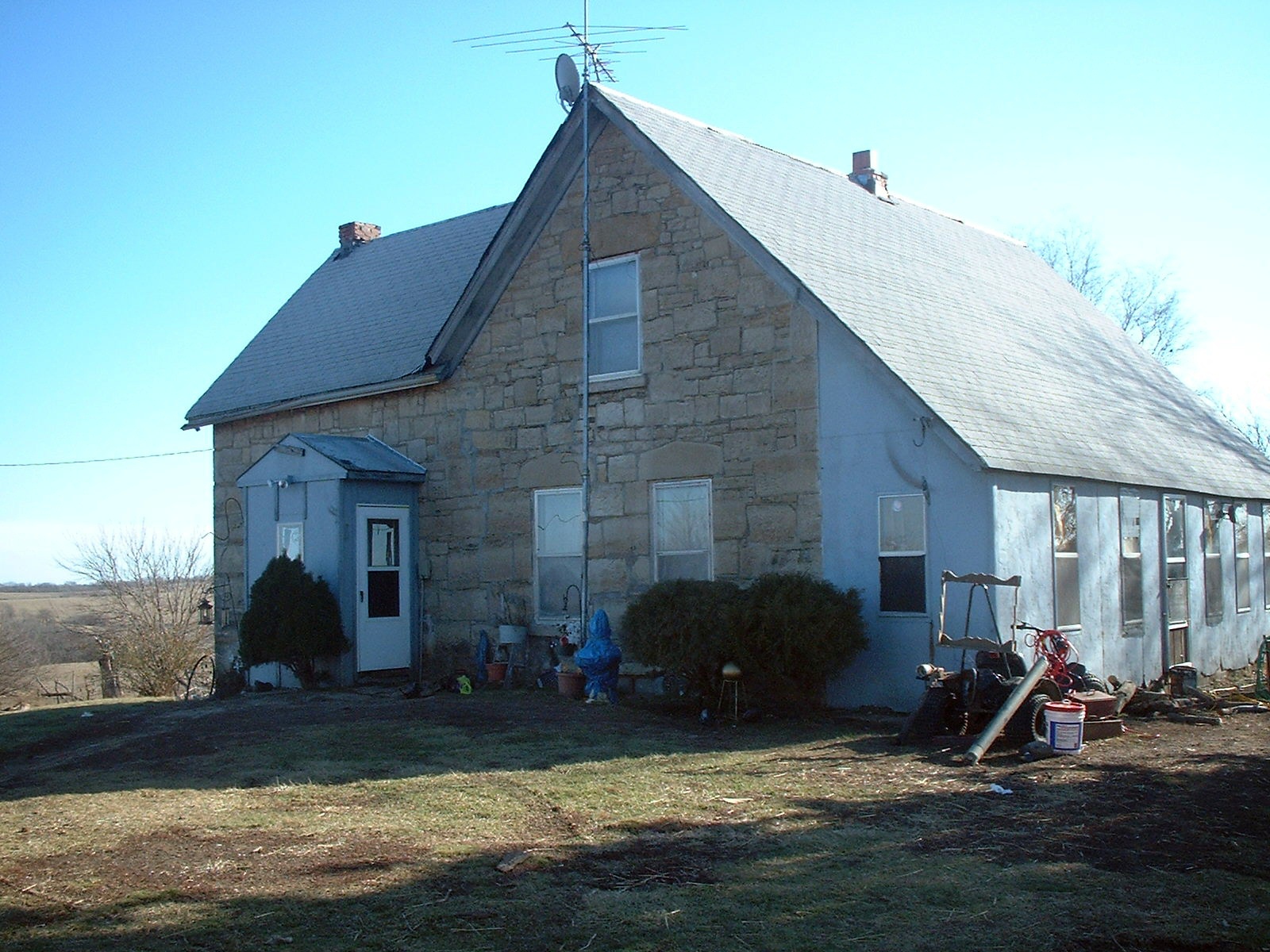
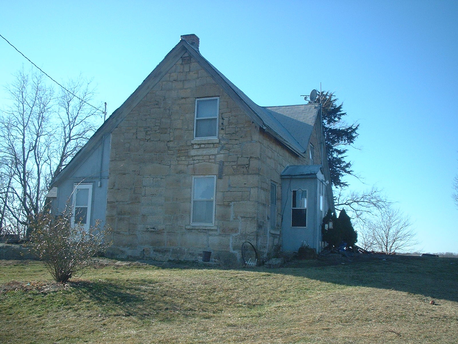
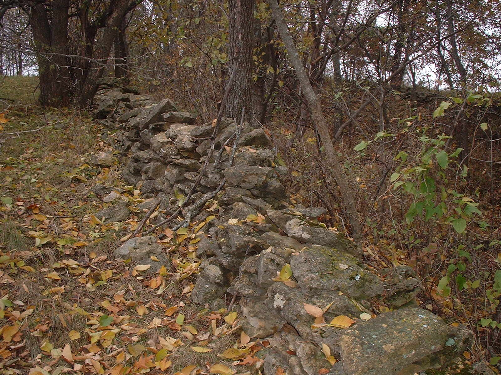
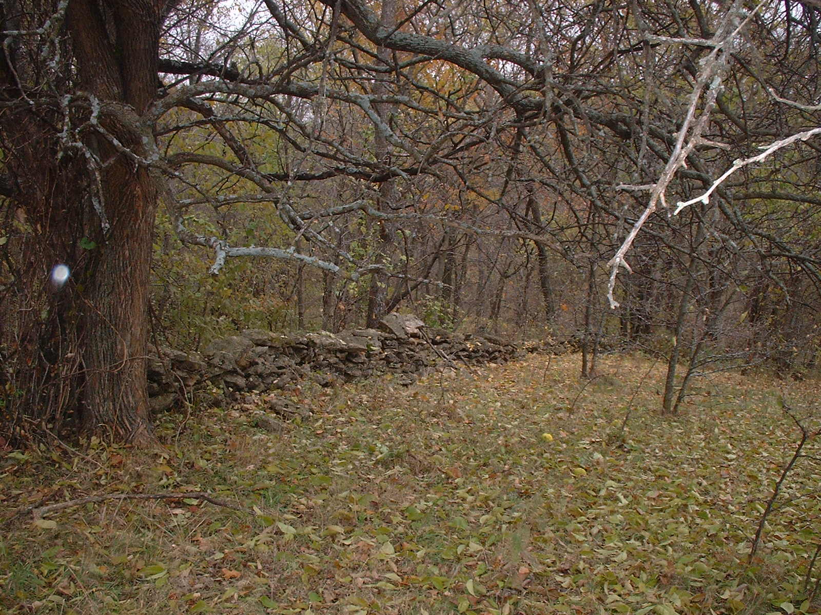
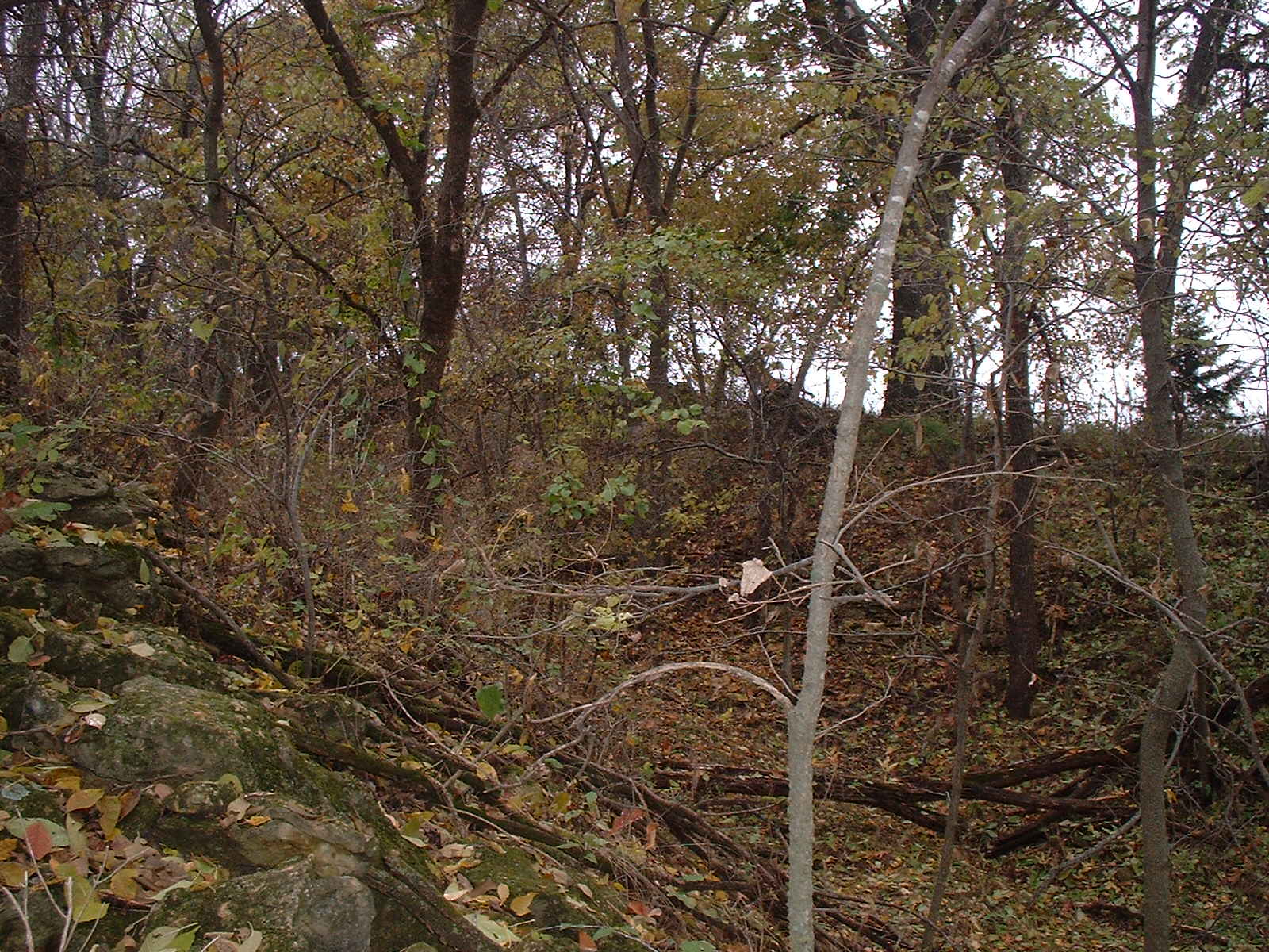
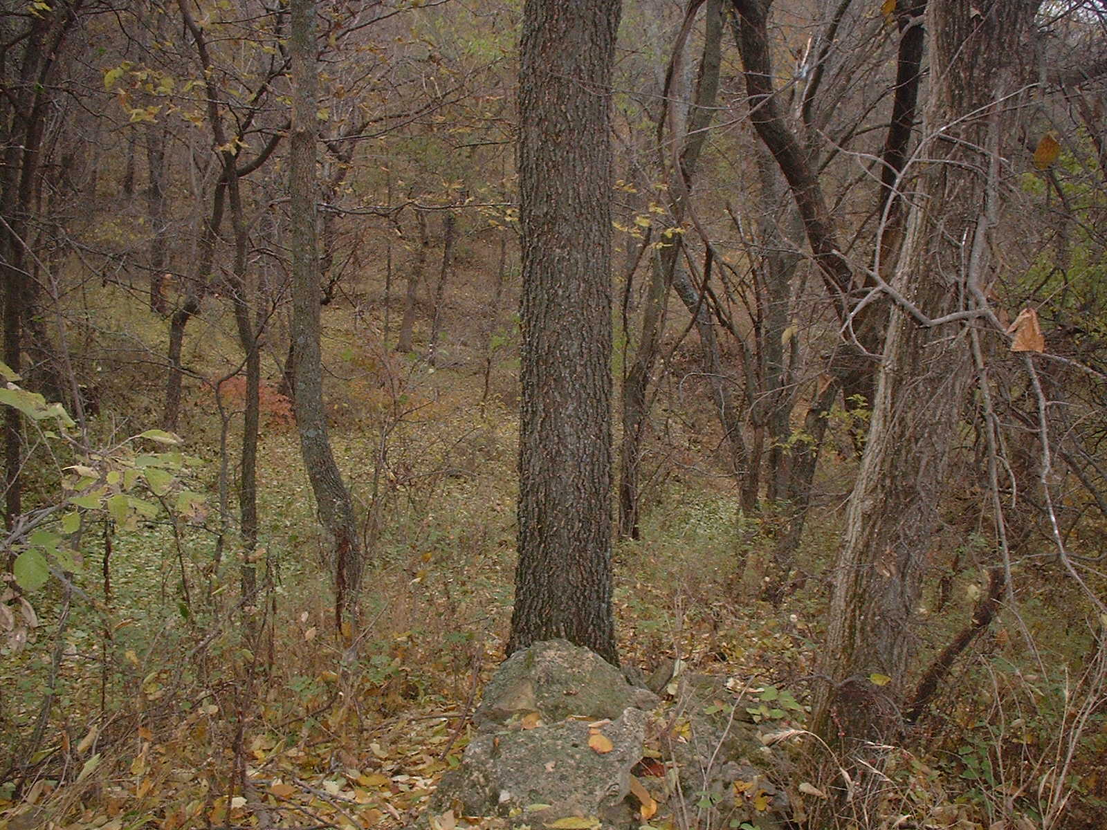
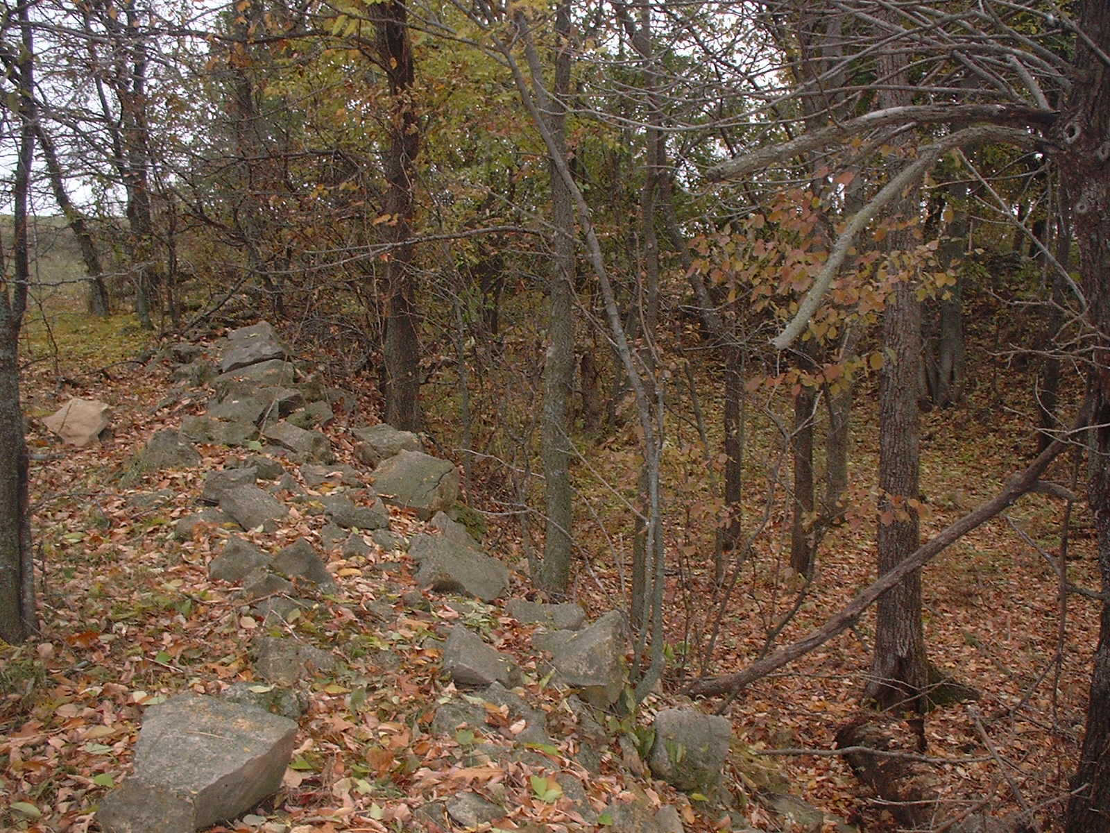
FARMS: Stone house on Lee farm just south of St. Pat's Church
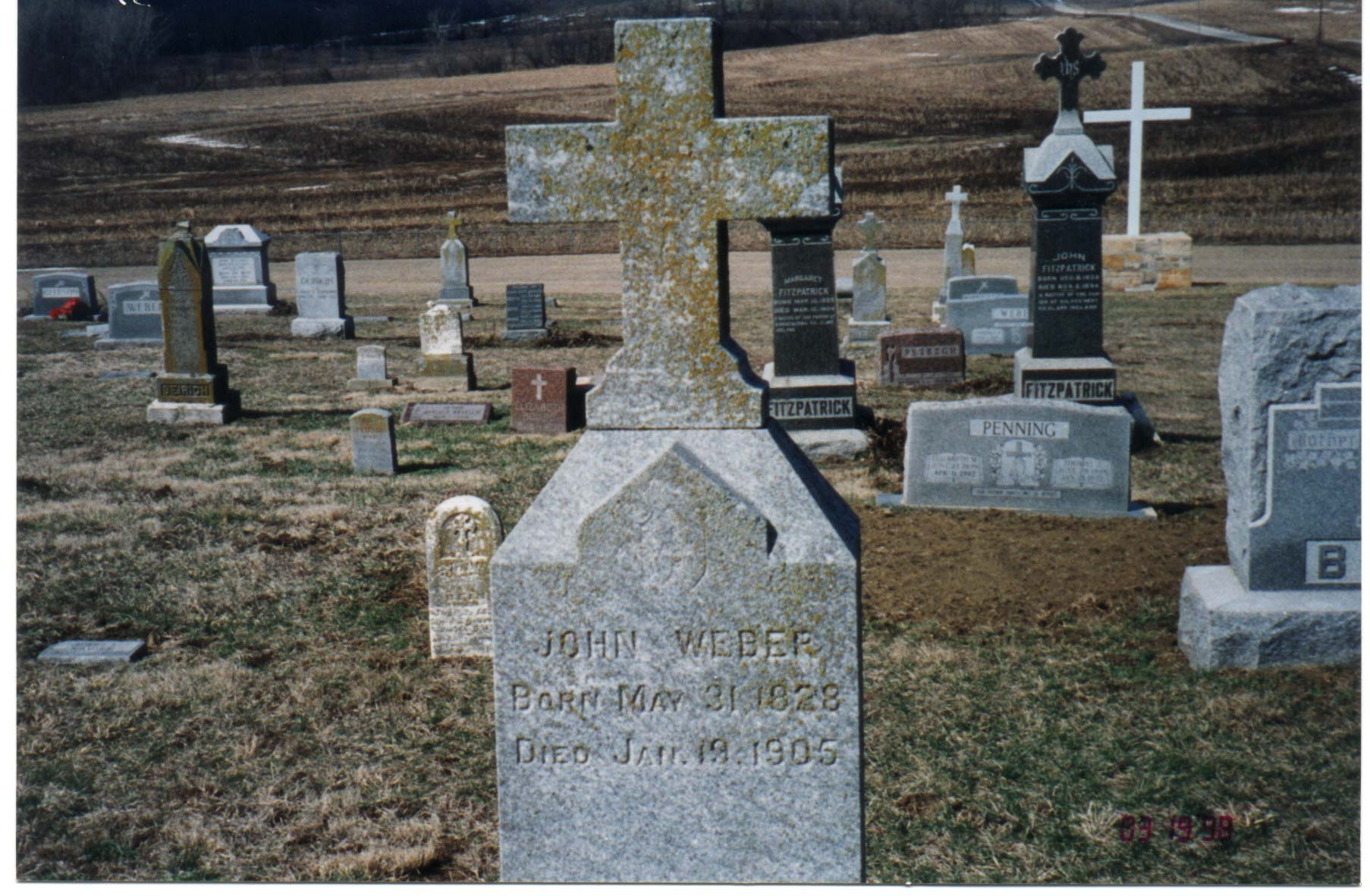
GRAVESTONE: John Weber Gravestone
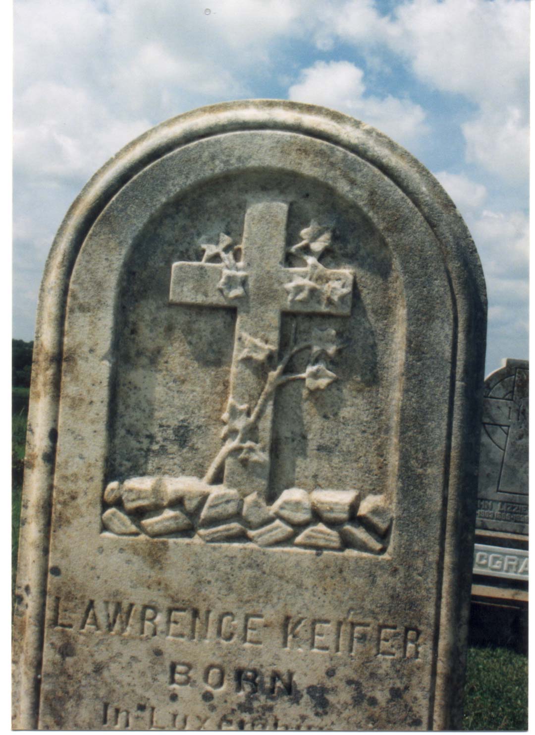
GRAVESTONE: Lawrence Kieffer Gravestone
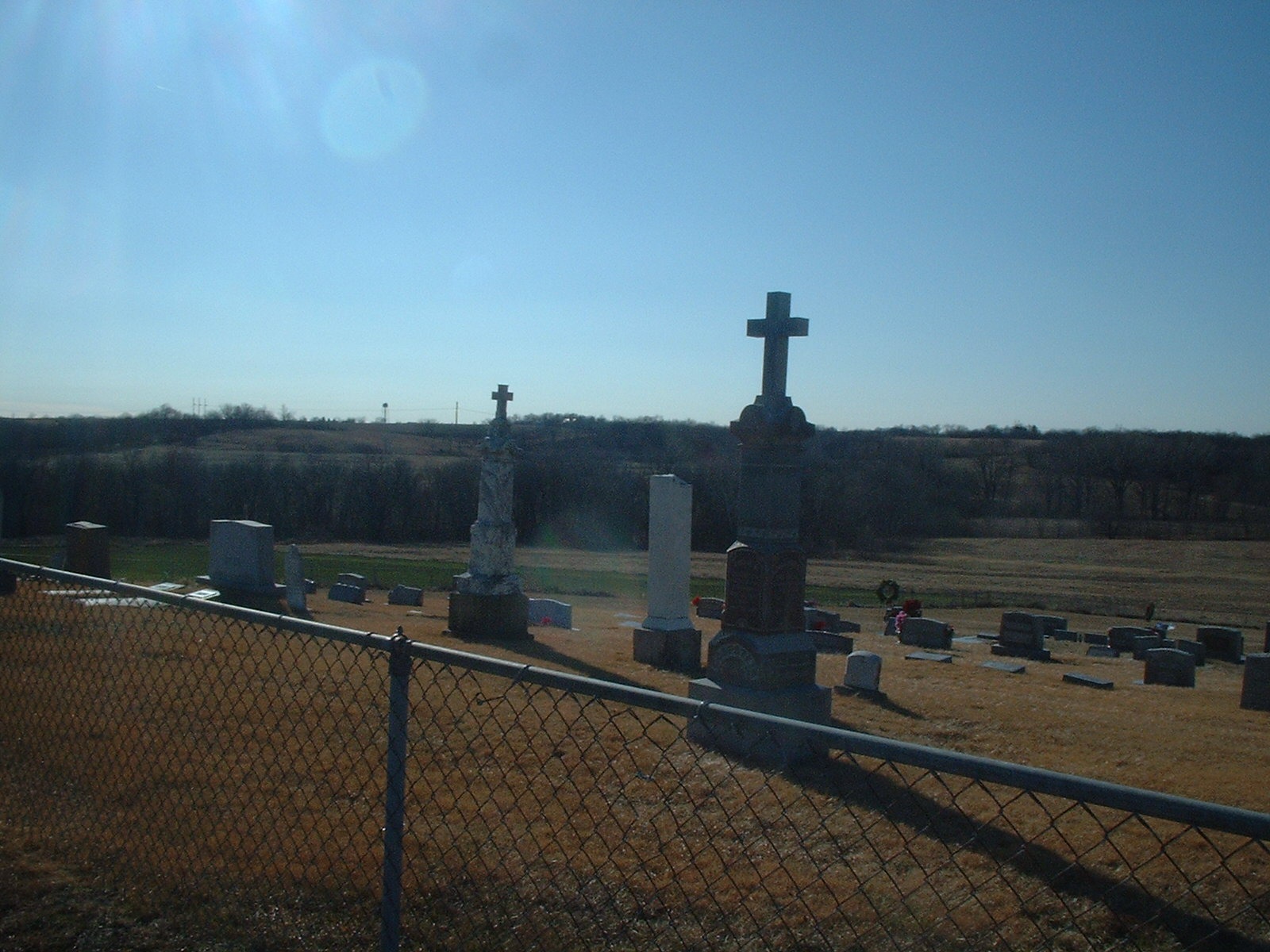
GRAVESTONES- St. Patrick's "new" cemetery west of church and looking south toward Mt. Pleasant
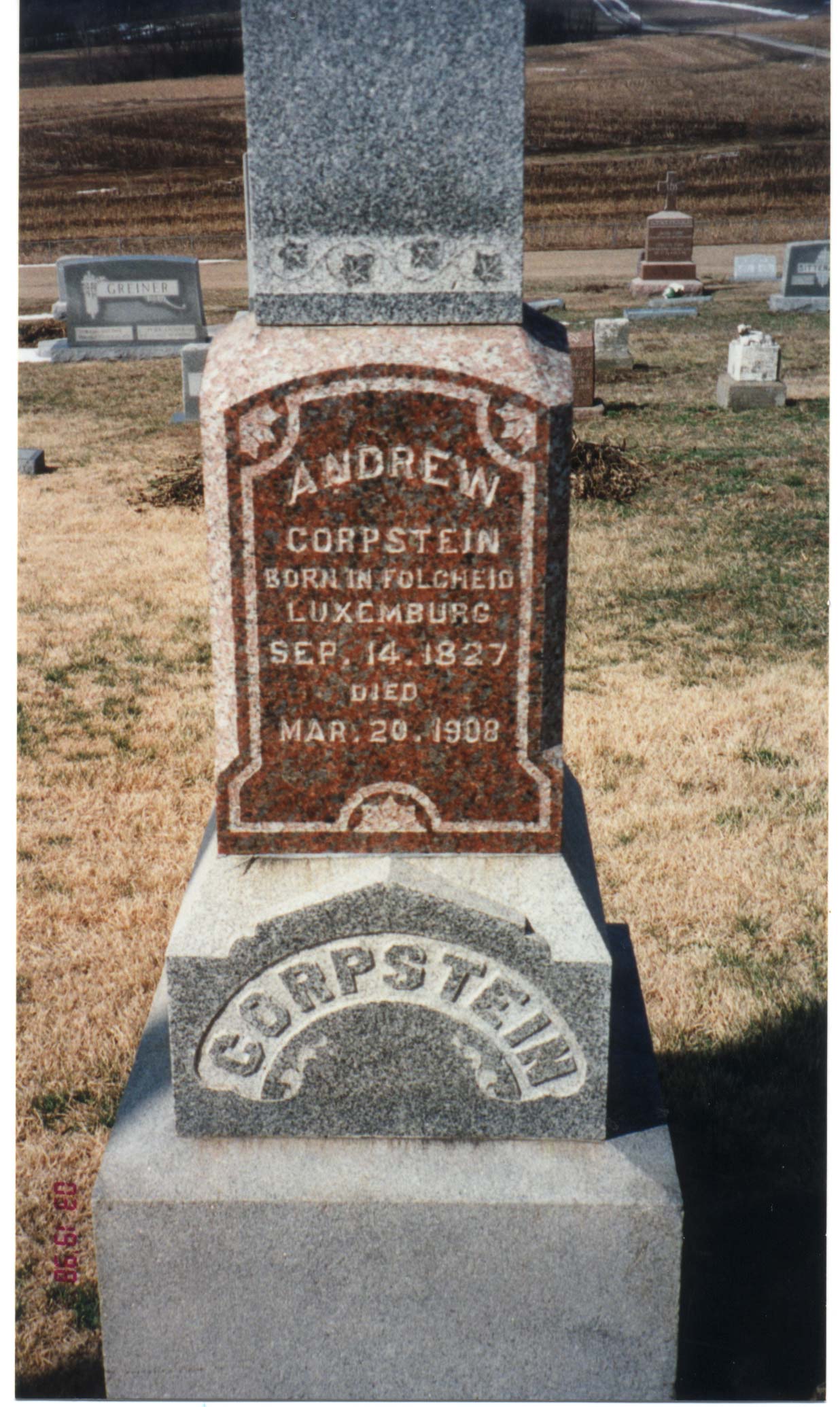
GRAVESTONES: Andy Corpstein
GRAVESTONES: Gravesite of Jean's Daughter-Lizzie Lucius-Cline
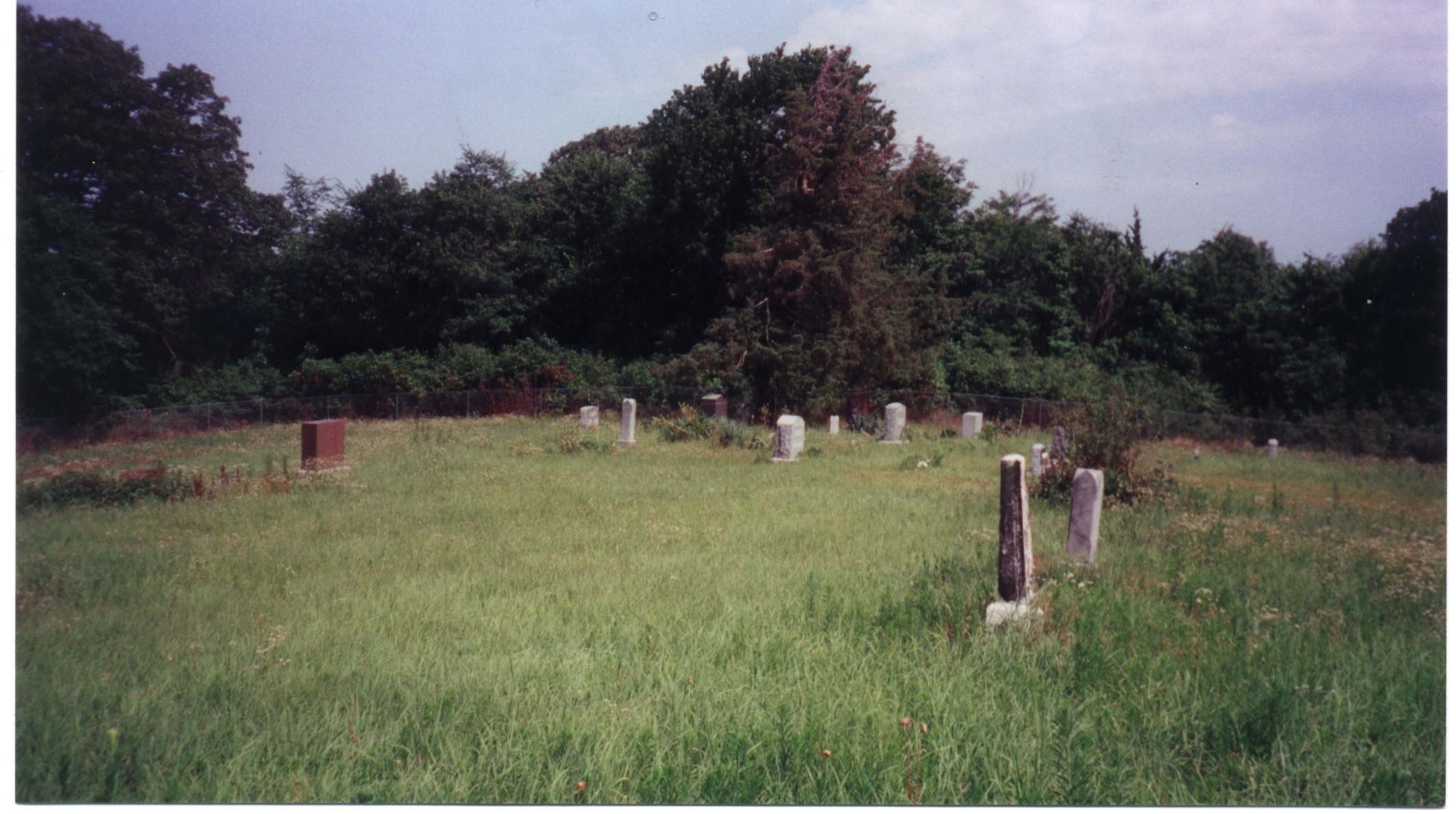
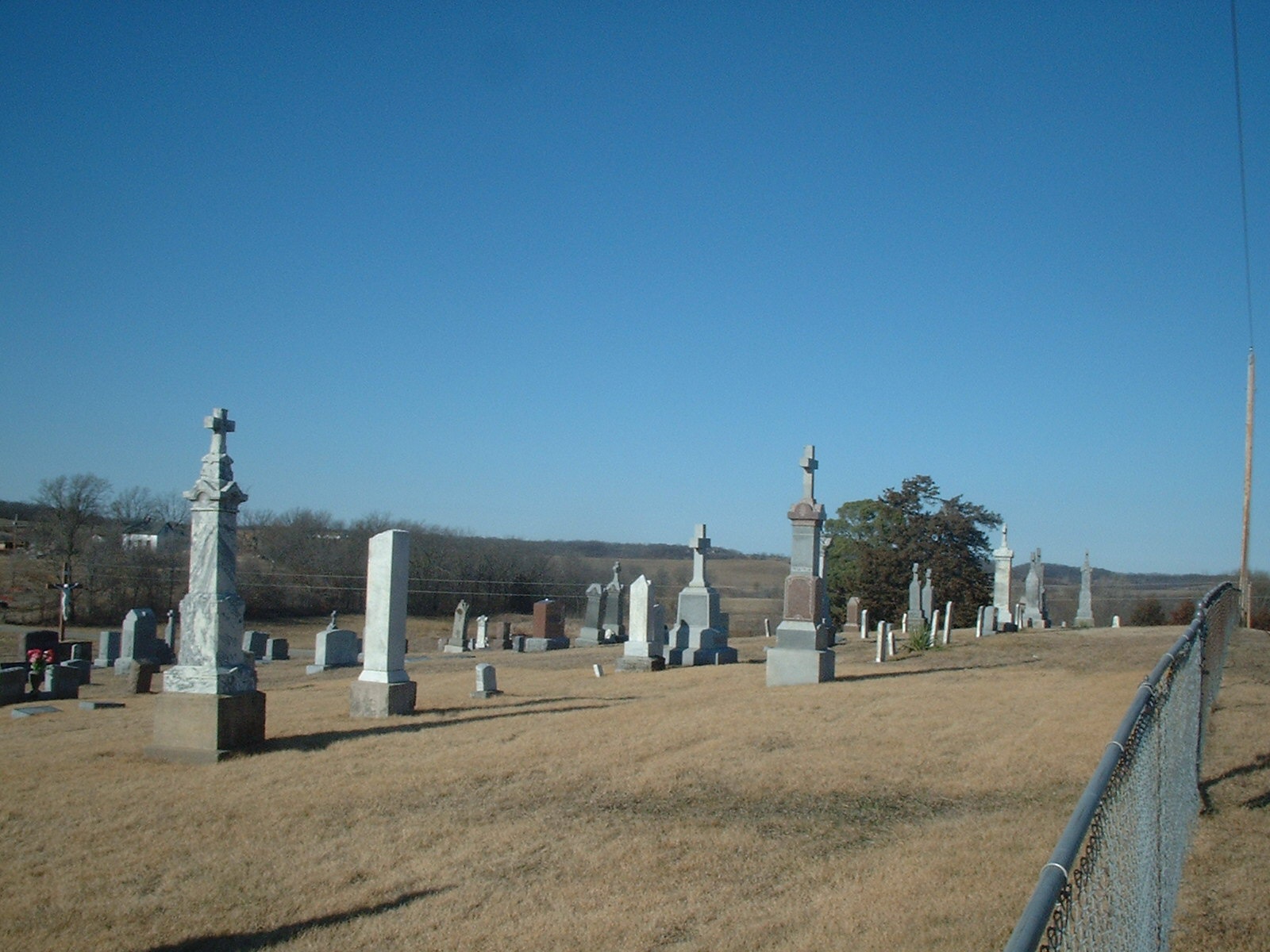
GRAVESTONES: Looking west over "luxembourgian" stones in the St. Pat's cemetery
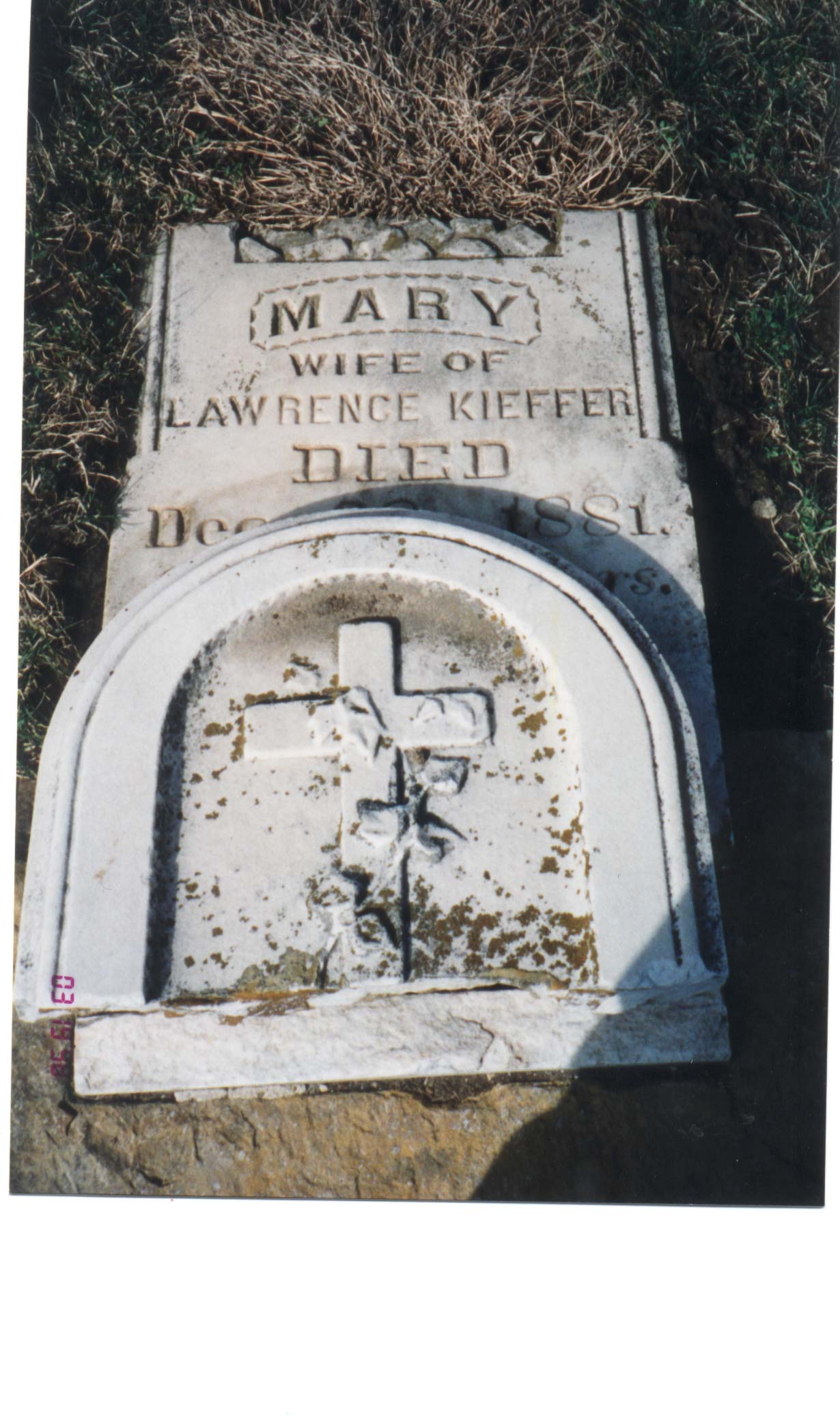
GRAVESTONES: Mary Hess wife of Lawrence Kieffer Gravestone
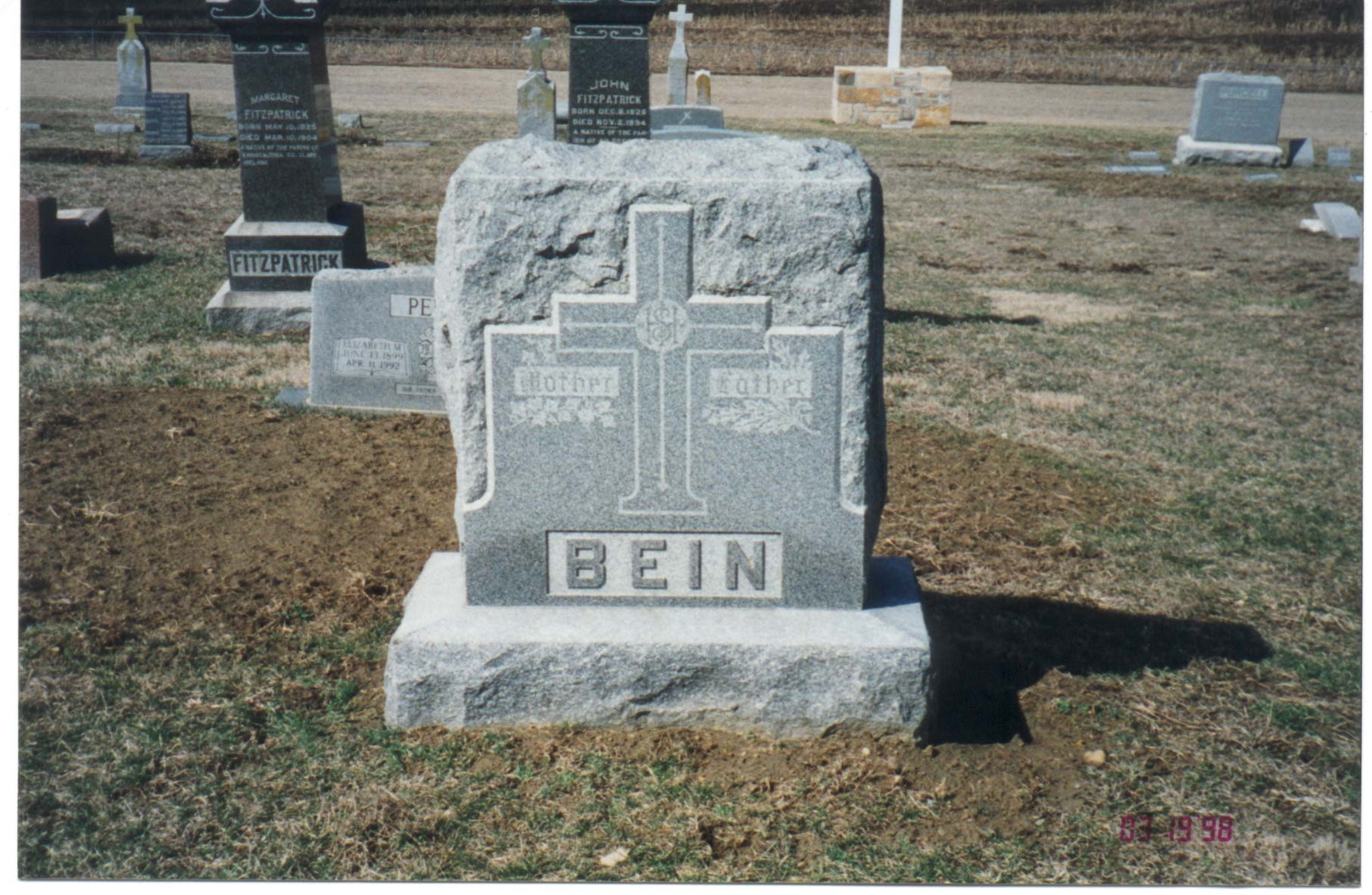
GRAVESTONES: Matt Bein and Elizabeth Kieffer Gravestone
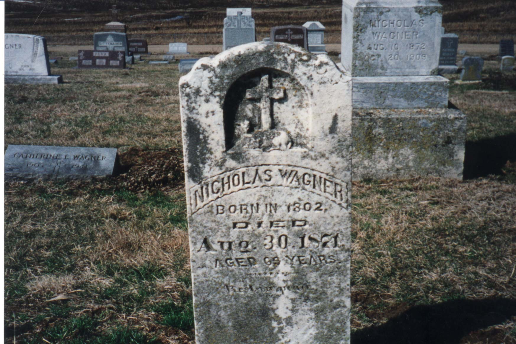
GRAVESTONES: Nicholas Wagner
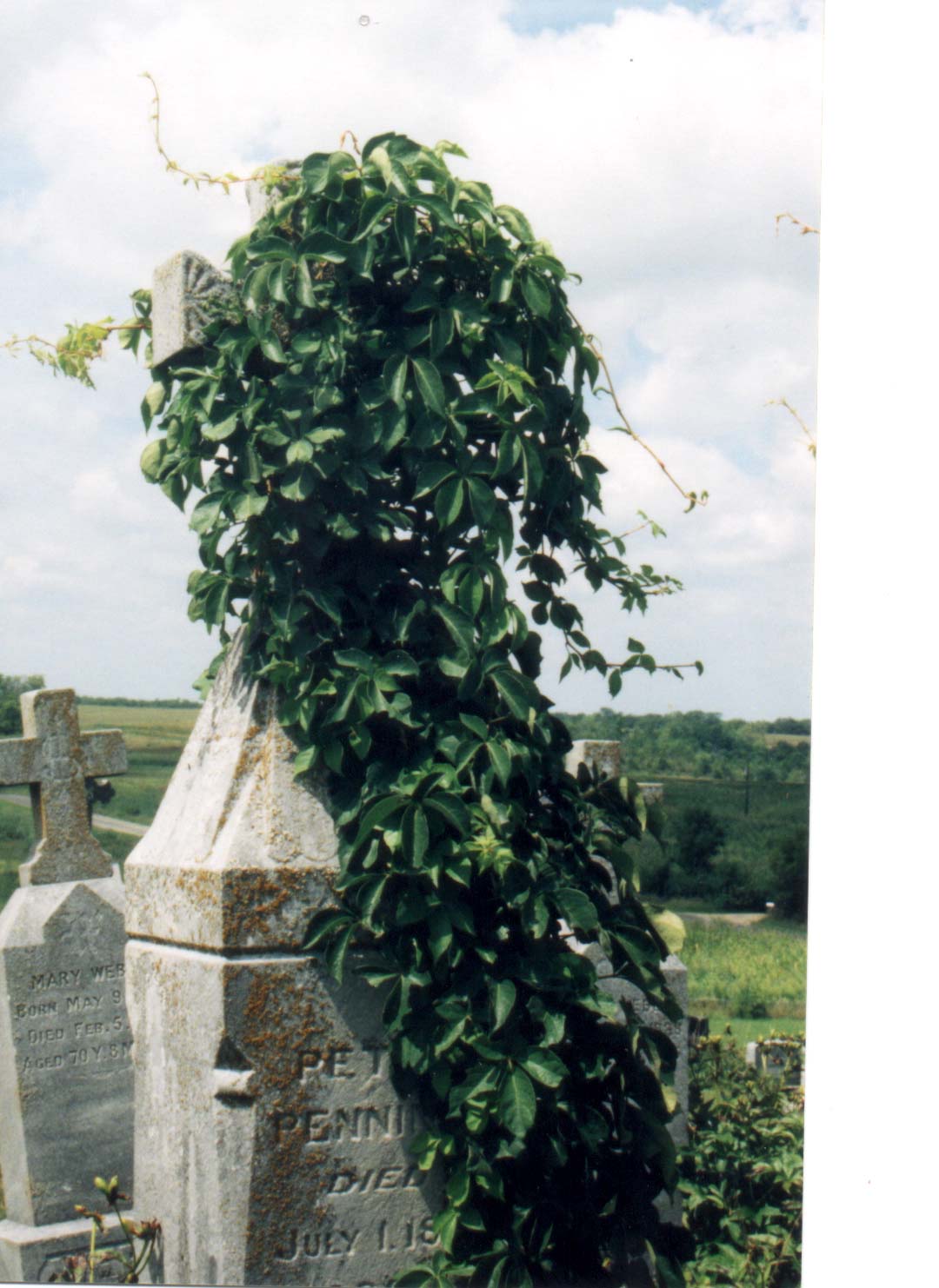
GRAVESTONES: Peter Penning Gravestone
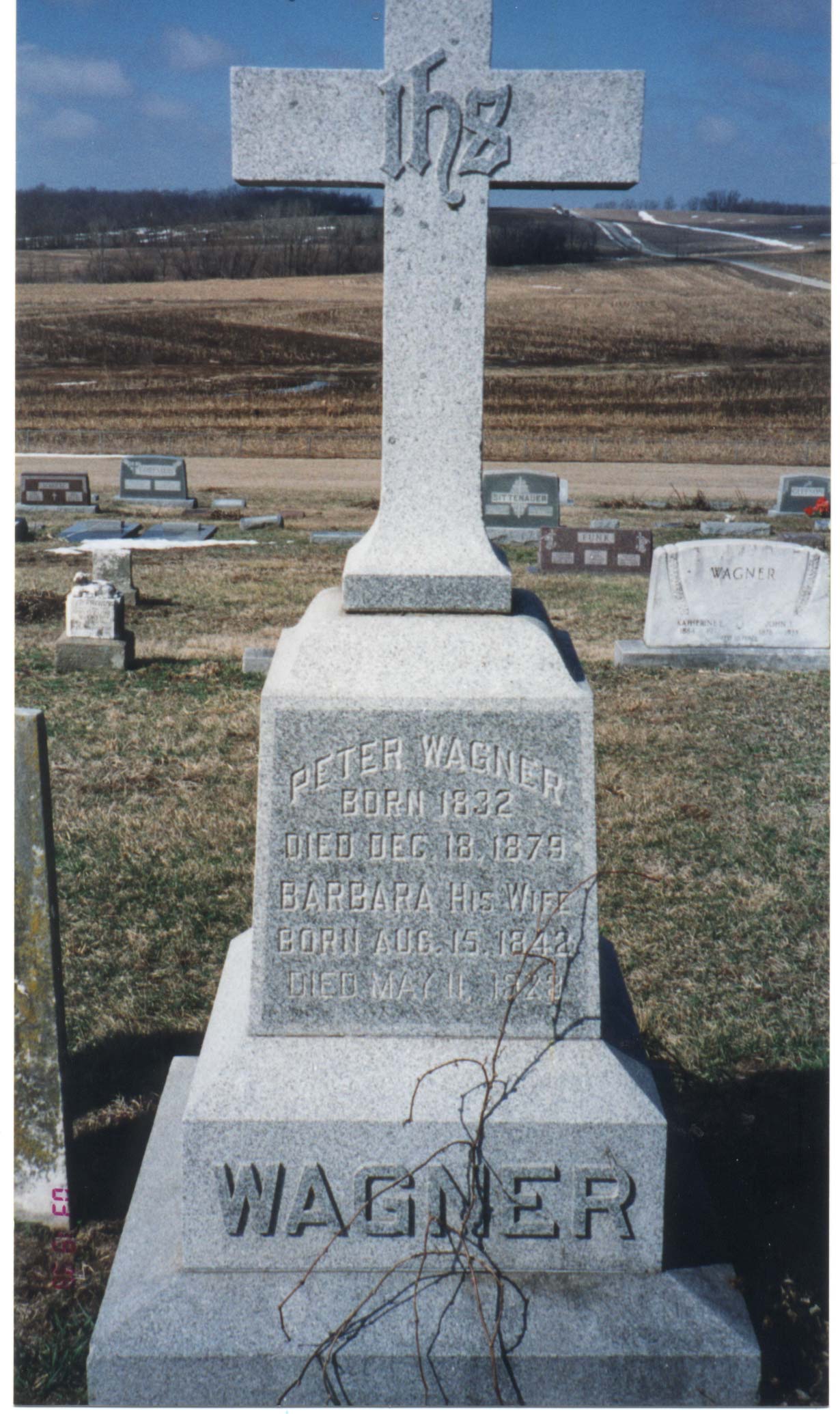
GRAVESTONES: Peter Wagner and Barbara Kieffer Gravestone
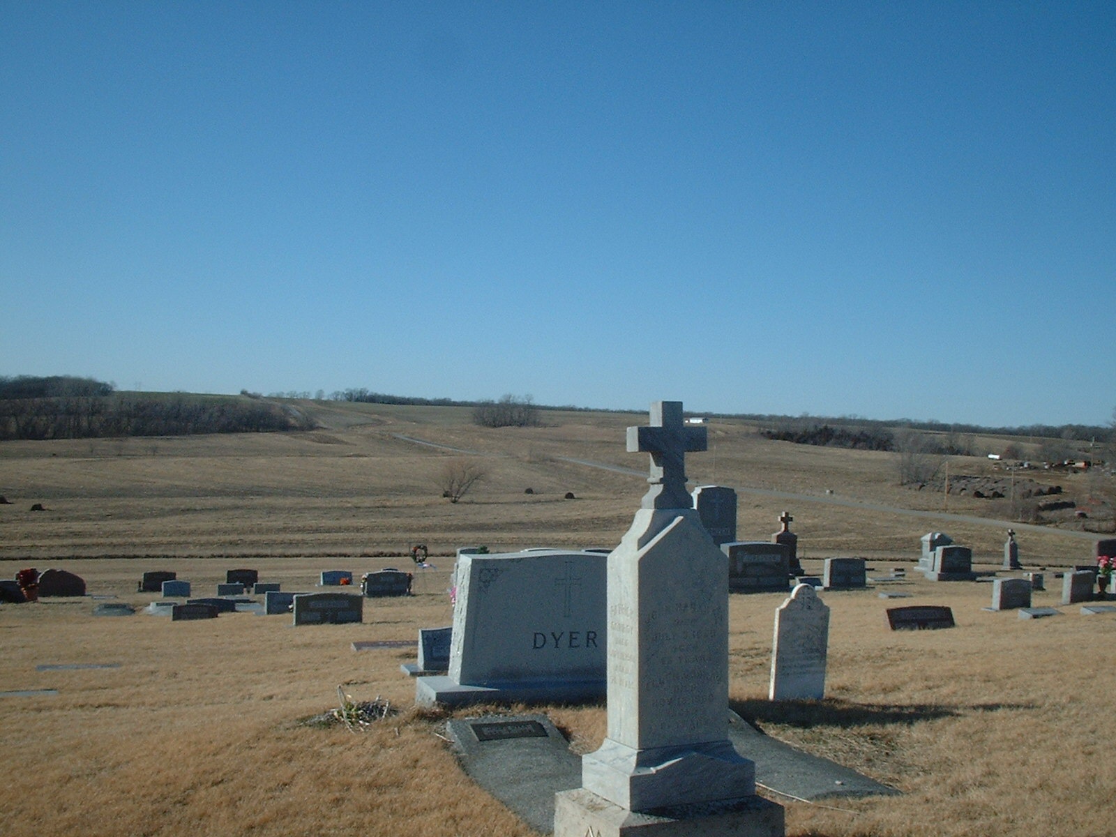
GRAVESTONES: St. Pat's cemetery looking north to the "Luxembourgian" part of the cemetery
GRAVESTONES: St. Pat's Cemetery looking to the south and the "Luxembourgian" part of the cemetery
MAPS : Bellview Iowa
MAPS : Germantown, Wisconsin
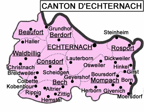
MAPS-Echternach, GD of Luxembourg
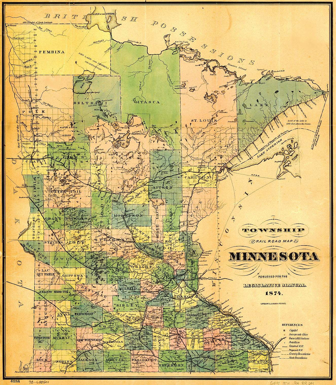
MAPS: Dakota County, Minnesota
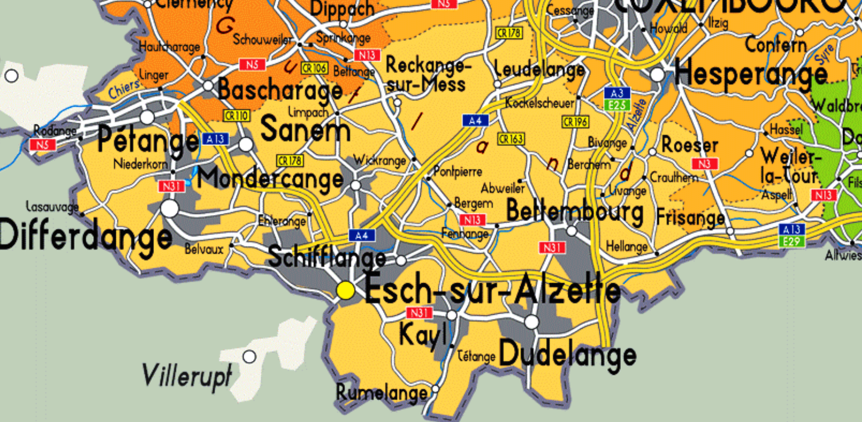
MAPS: Esch, Luxembourg
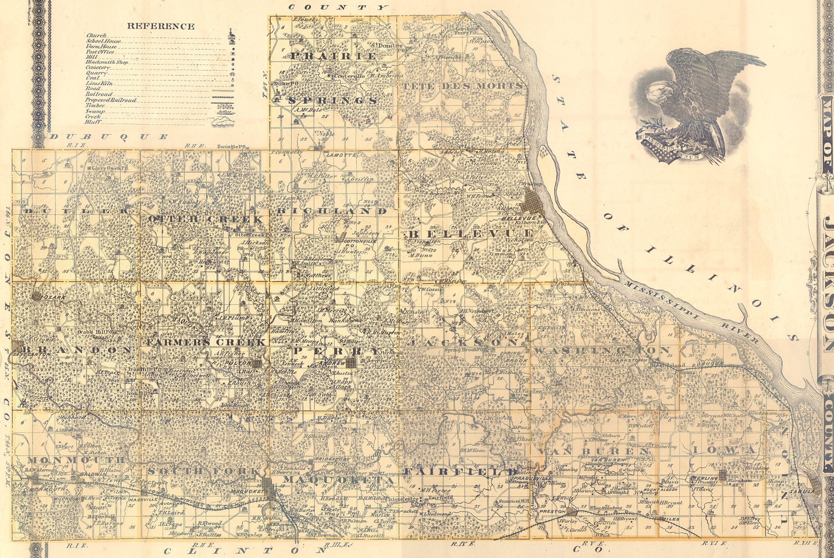
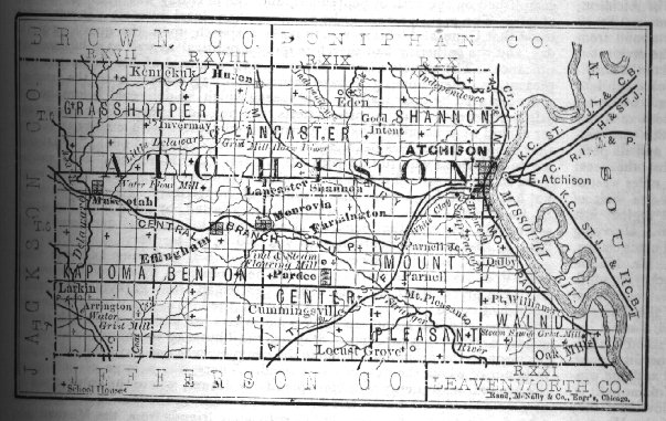
MAPS: Heritage Map of Atchison County, Kansas
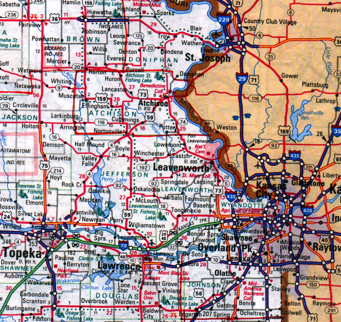
MAPS: Kansas City Area
MAPS: luxembourg-Belgium Map
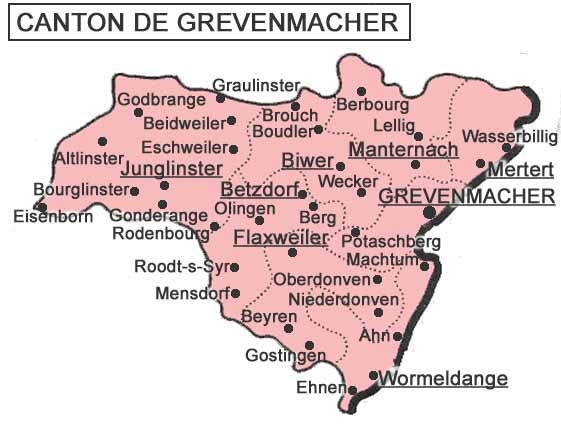
MAPS: Map of Canton Grevenmacher from which many Mt. Pleasant Luxers came.
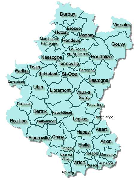
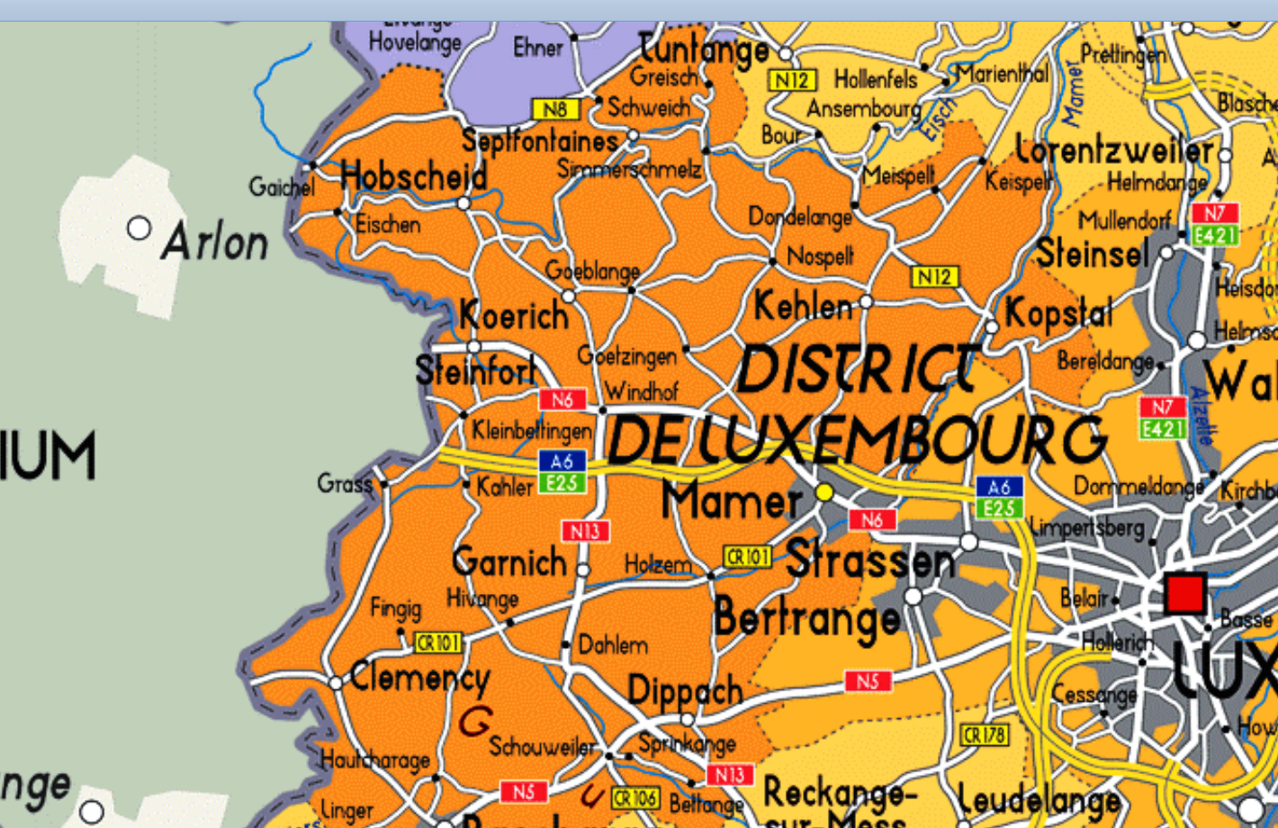
MAPS: Map of the District_de_Luxembourg
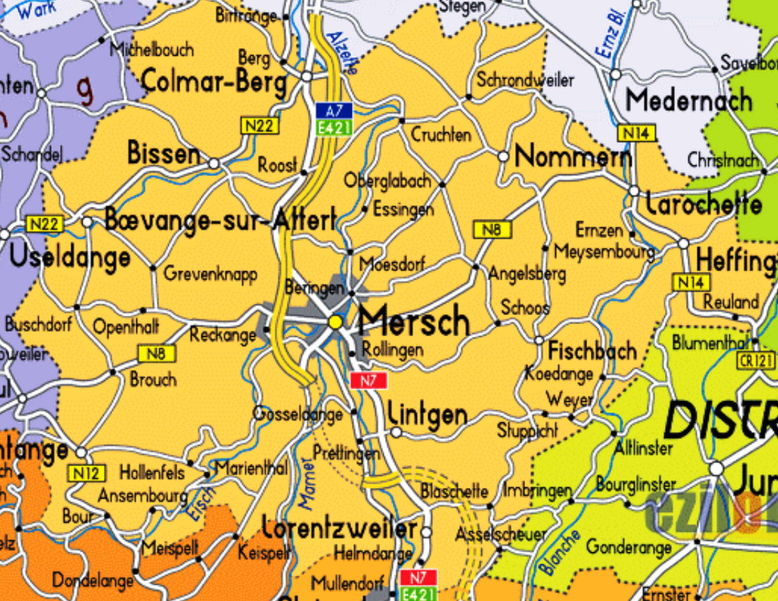
MAPS: Mersch, Luxembourg
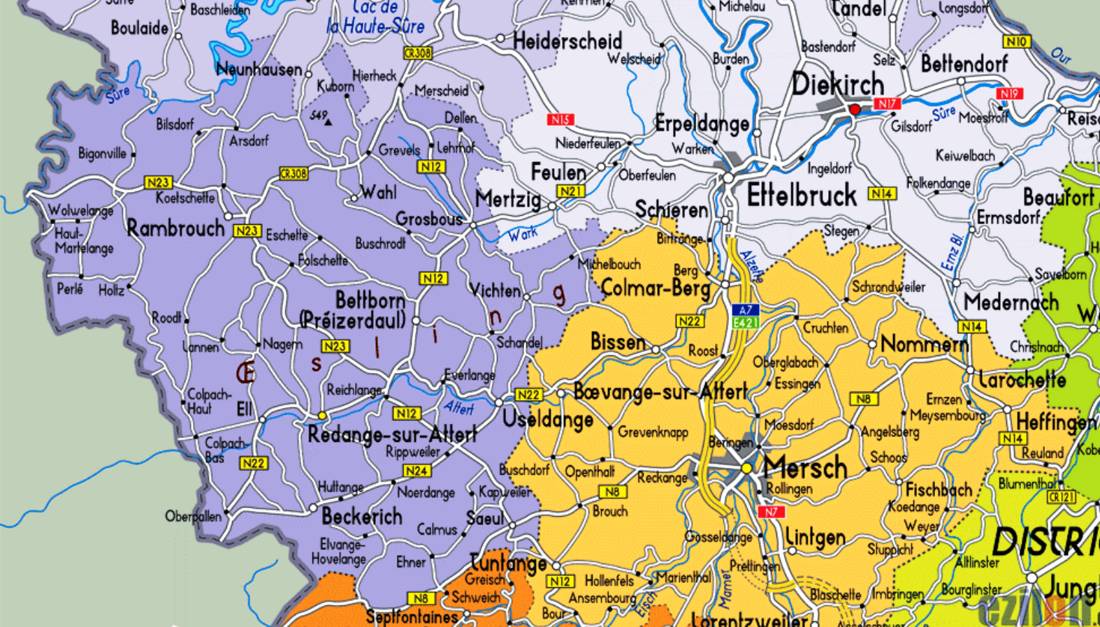
MAPS: Redange, Luxembourg
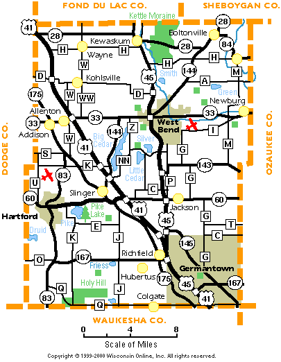
MAPS: Washington Co., Wisconsin
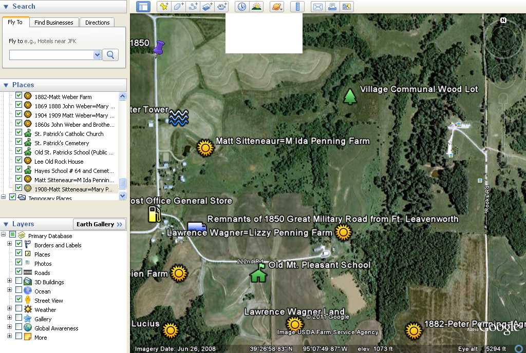
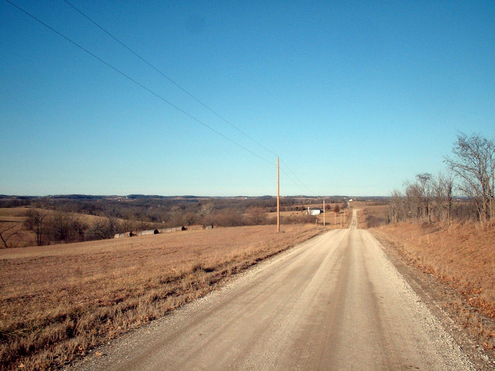
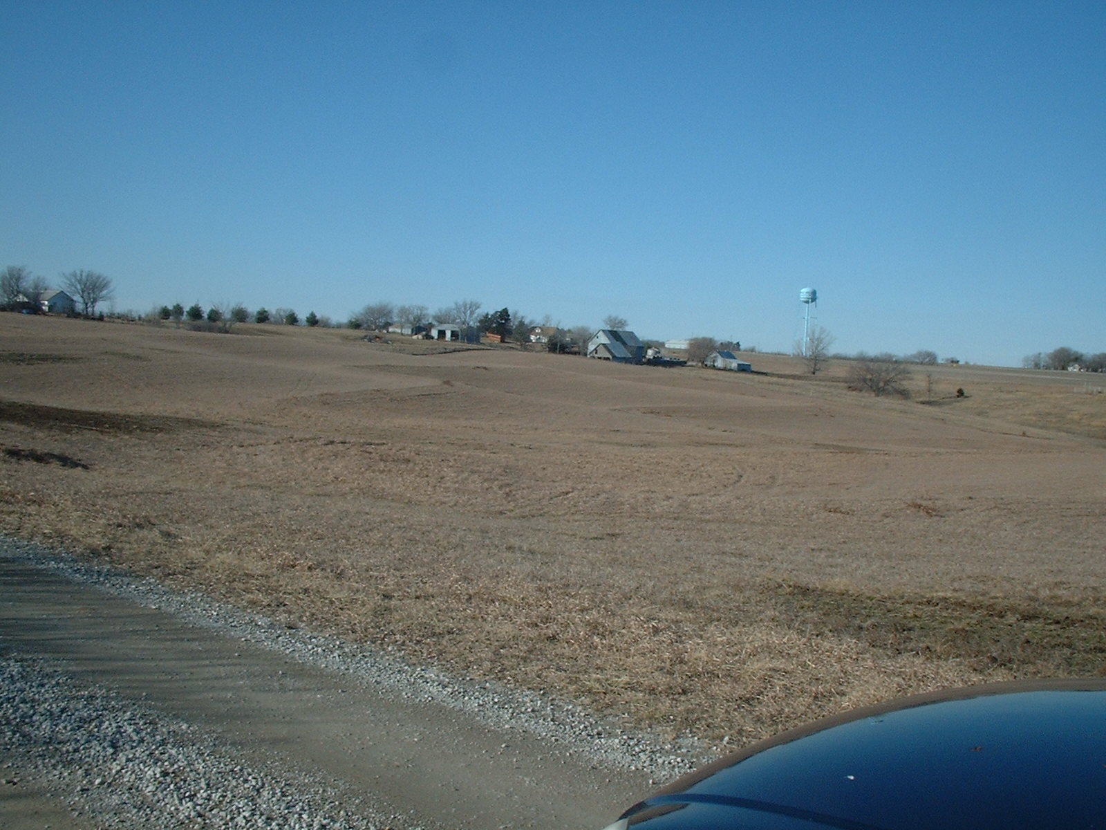
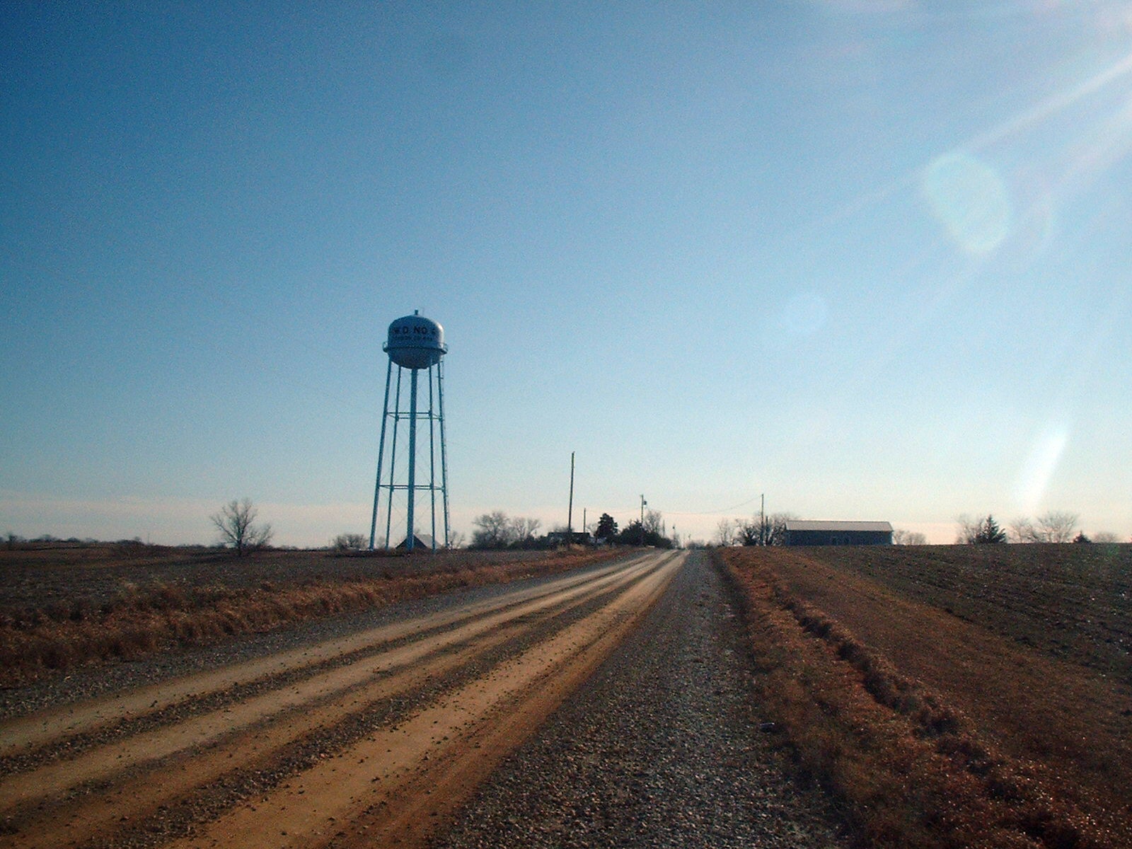
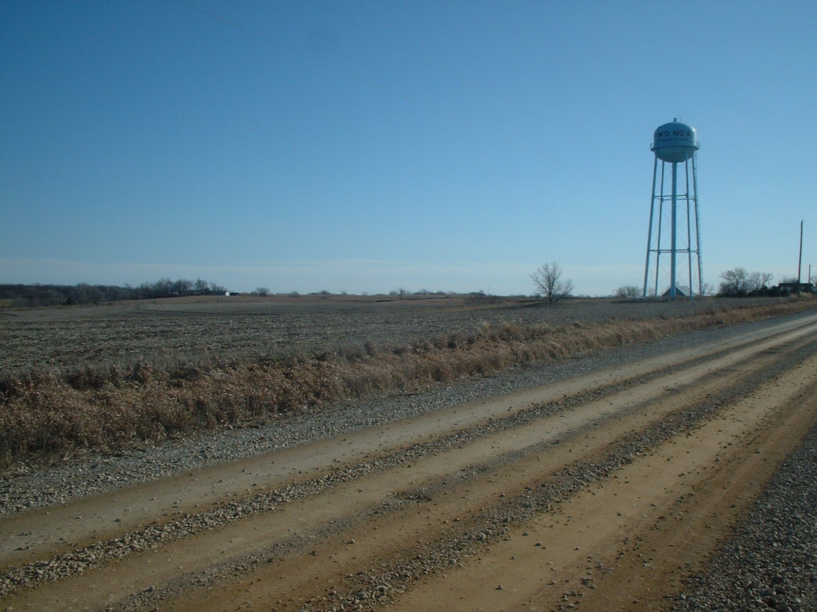
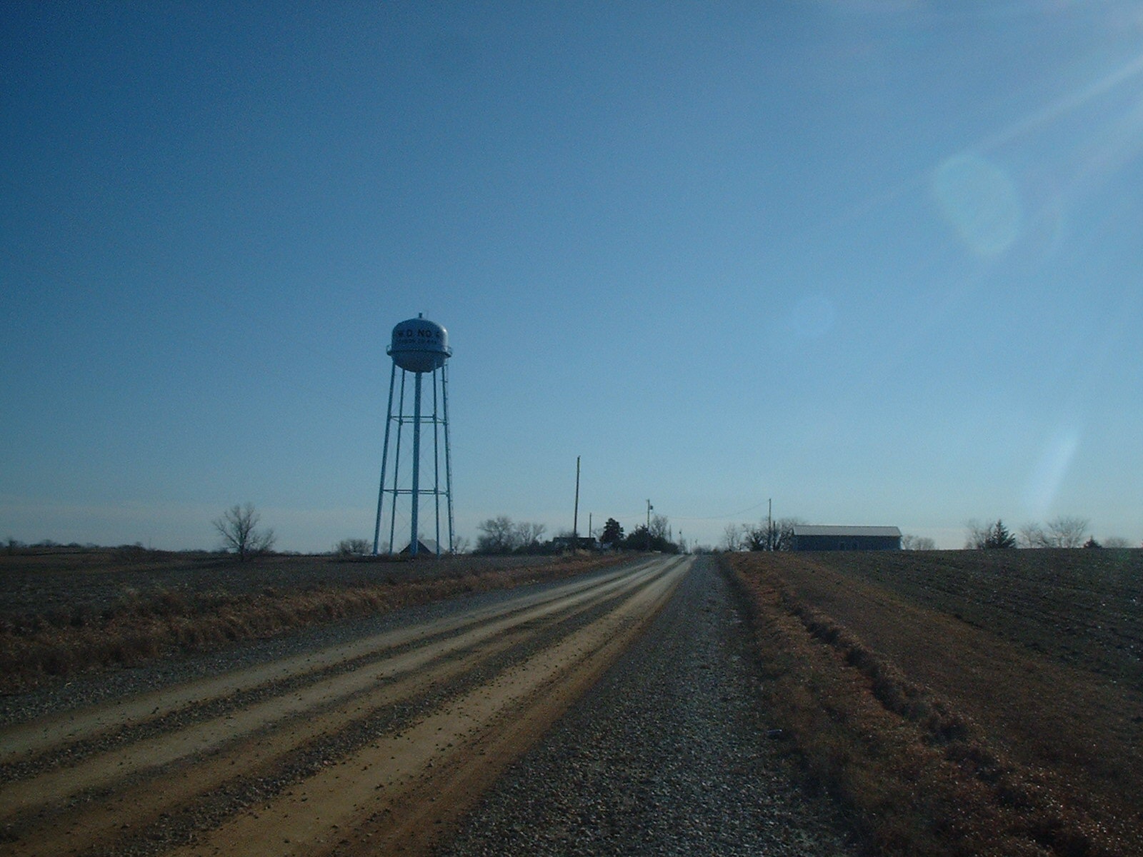
MT. PLEASANT-Approaching Contemporary Mt. Pleasant and Watertower
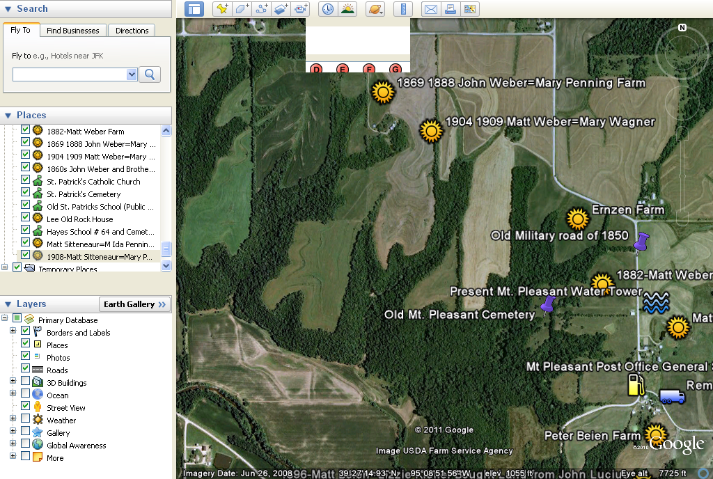
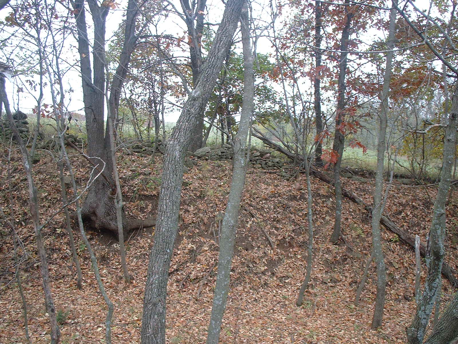
MT. PLEASANT-Bank of the Original Great Military Road from Ft. Leavenworth in Old Mt. Pleasant1
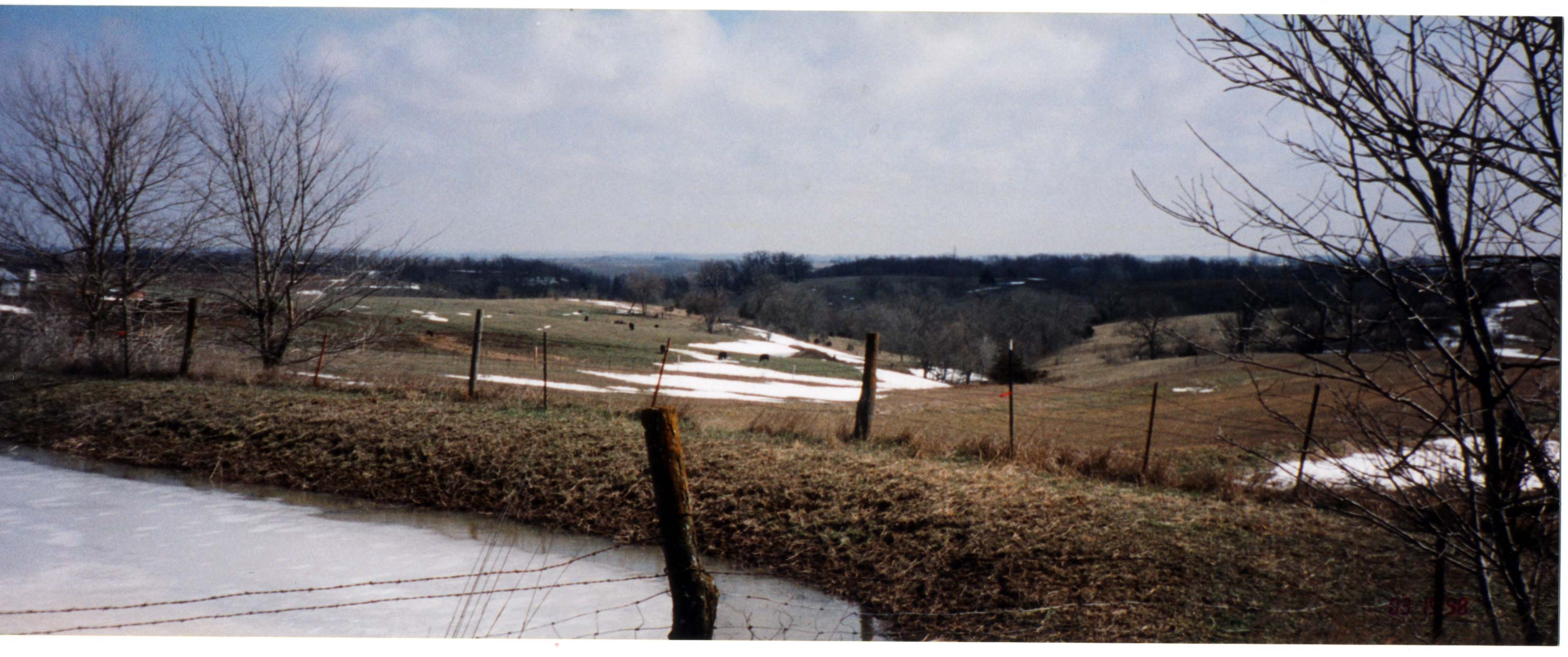
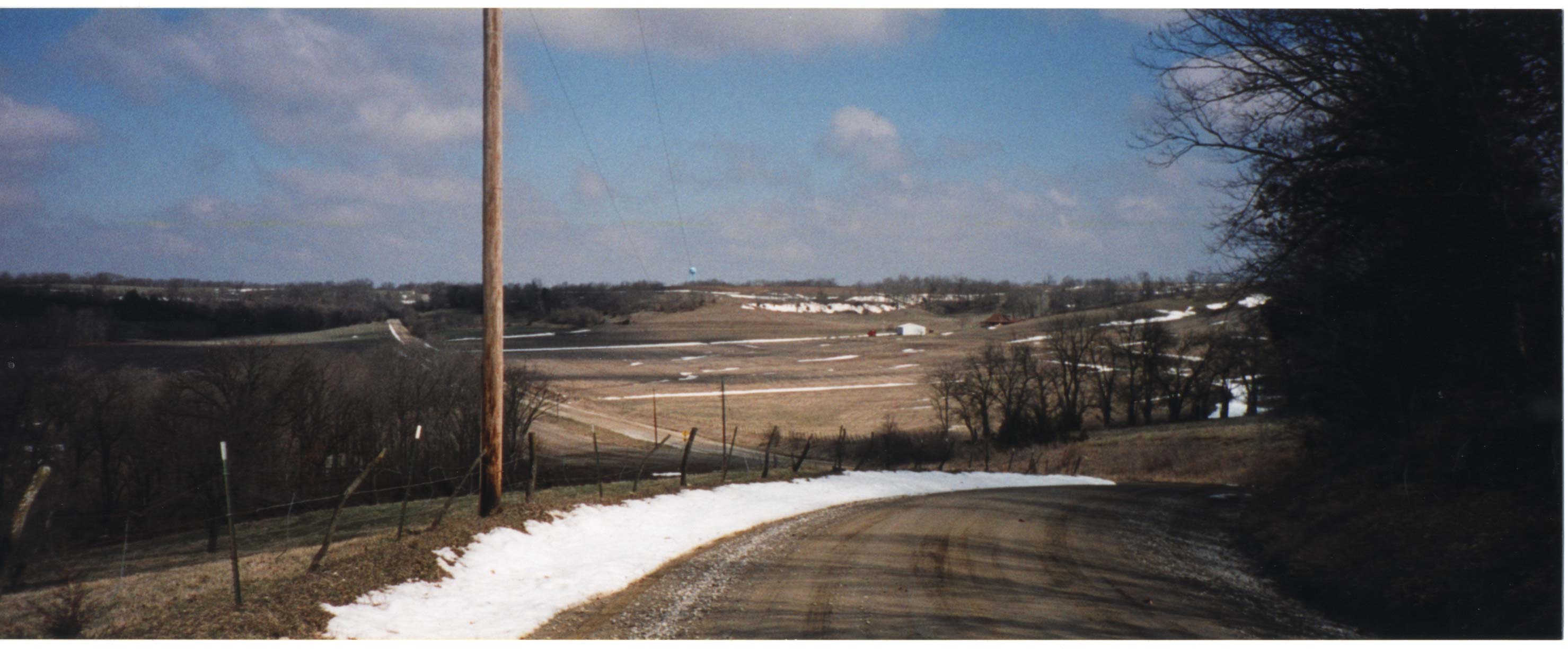
MT. PLEASANT-Mt Pleasant to Missouri River Valley
MT. PLEASANT: County Road of 1889 to left on corner where Mt. Pleasant school stood and House where my grandpa grew as a child
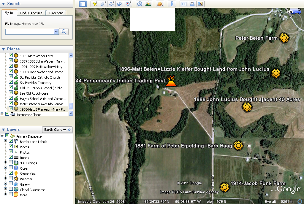
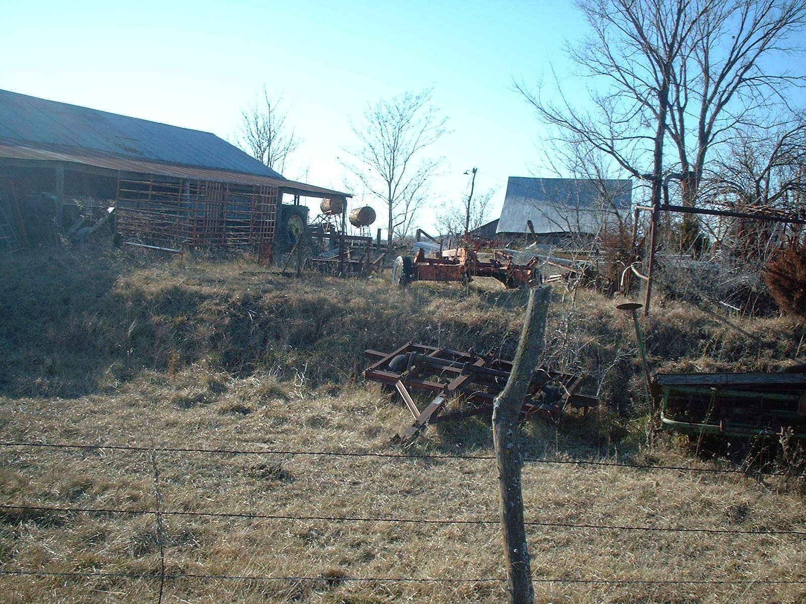
MT. PLEASANT: Indian Trading Post
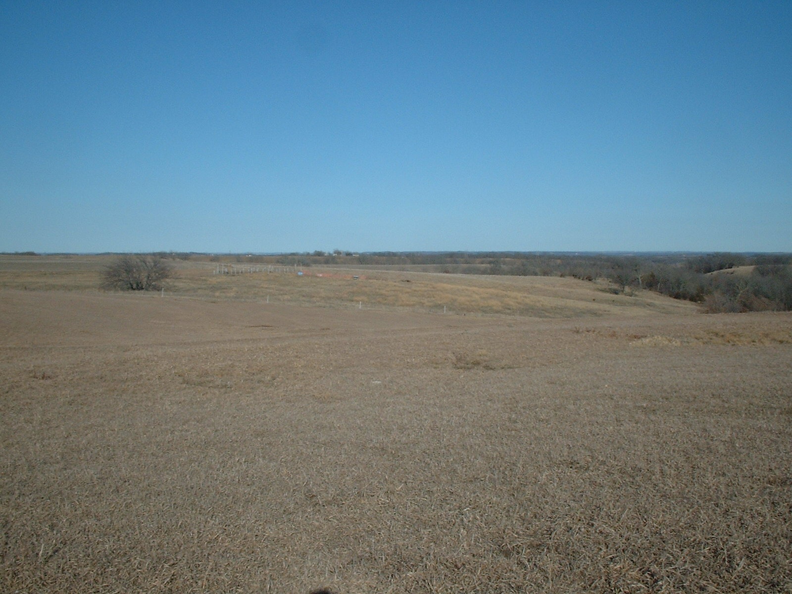
MT. PLEASANT: Jean Lucius Farm-Mt Pleasant
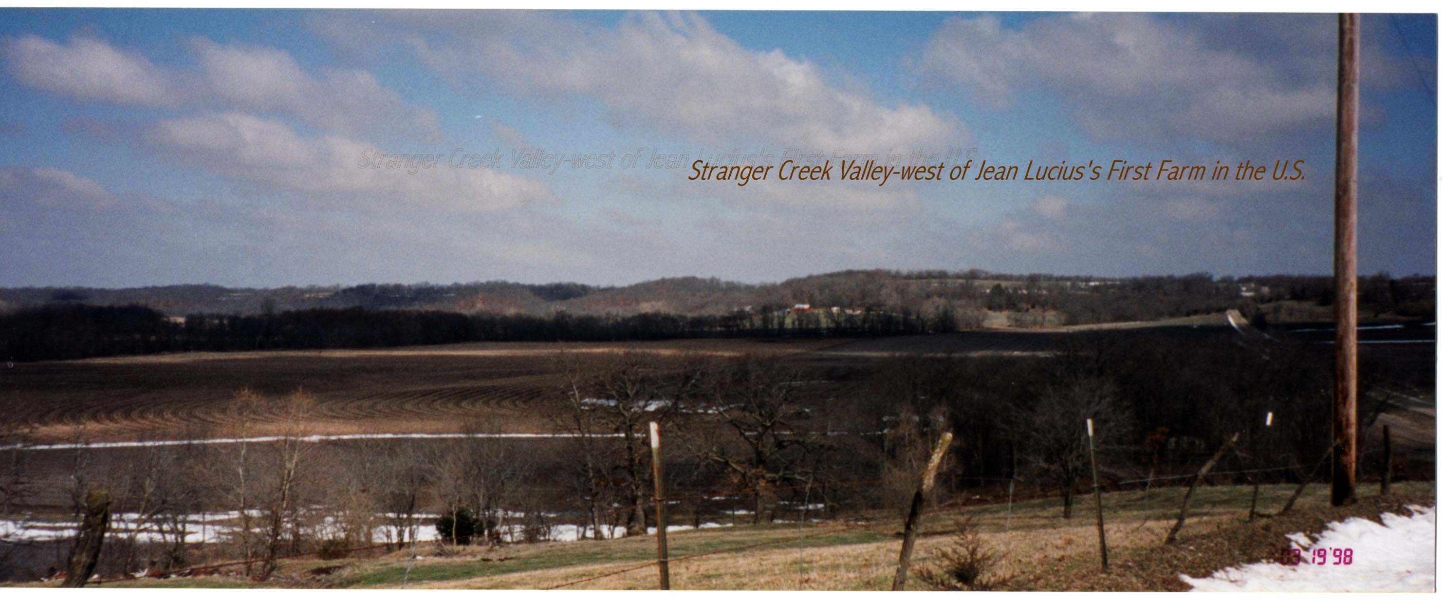
MT. PLEASANT: Jean's Farm South into Stranger Creek Valley
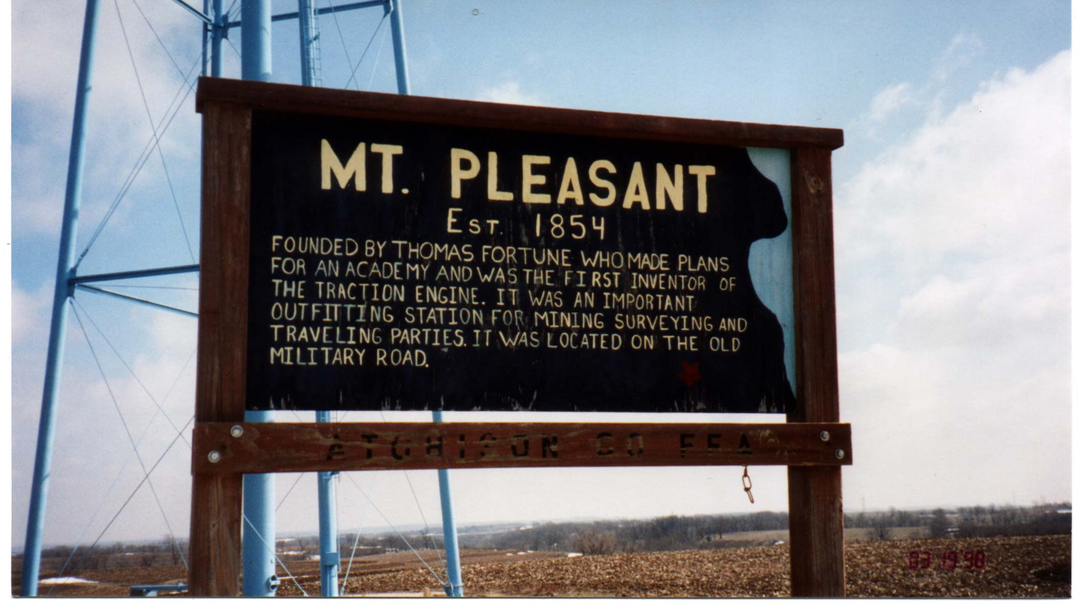
MT. PLEASANT: Mt Pleasant, Kansas
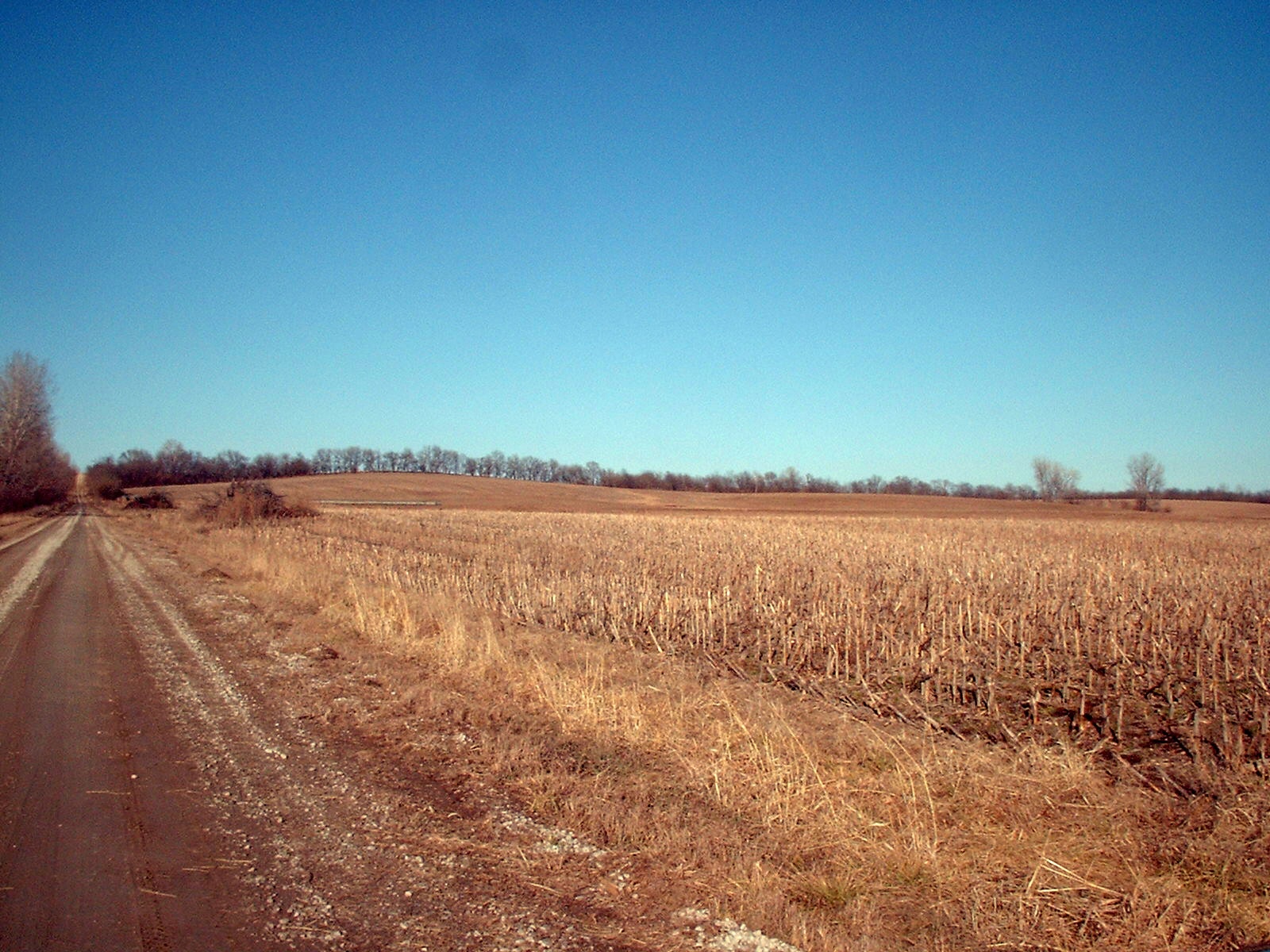
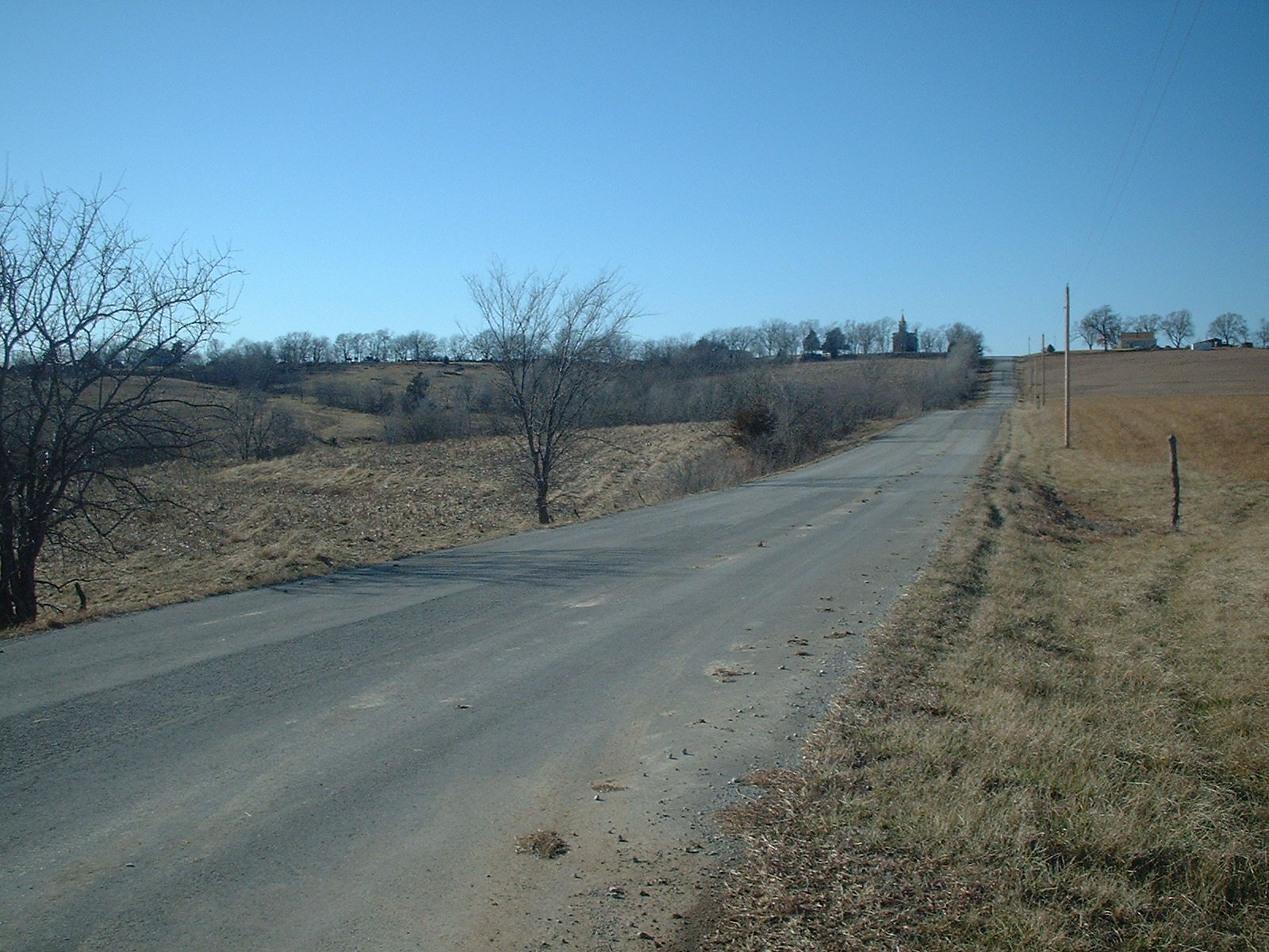
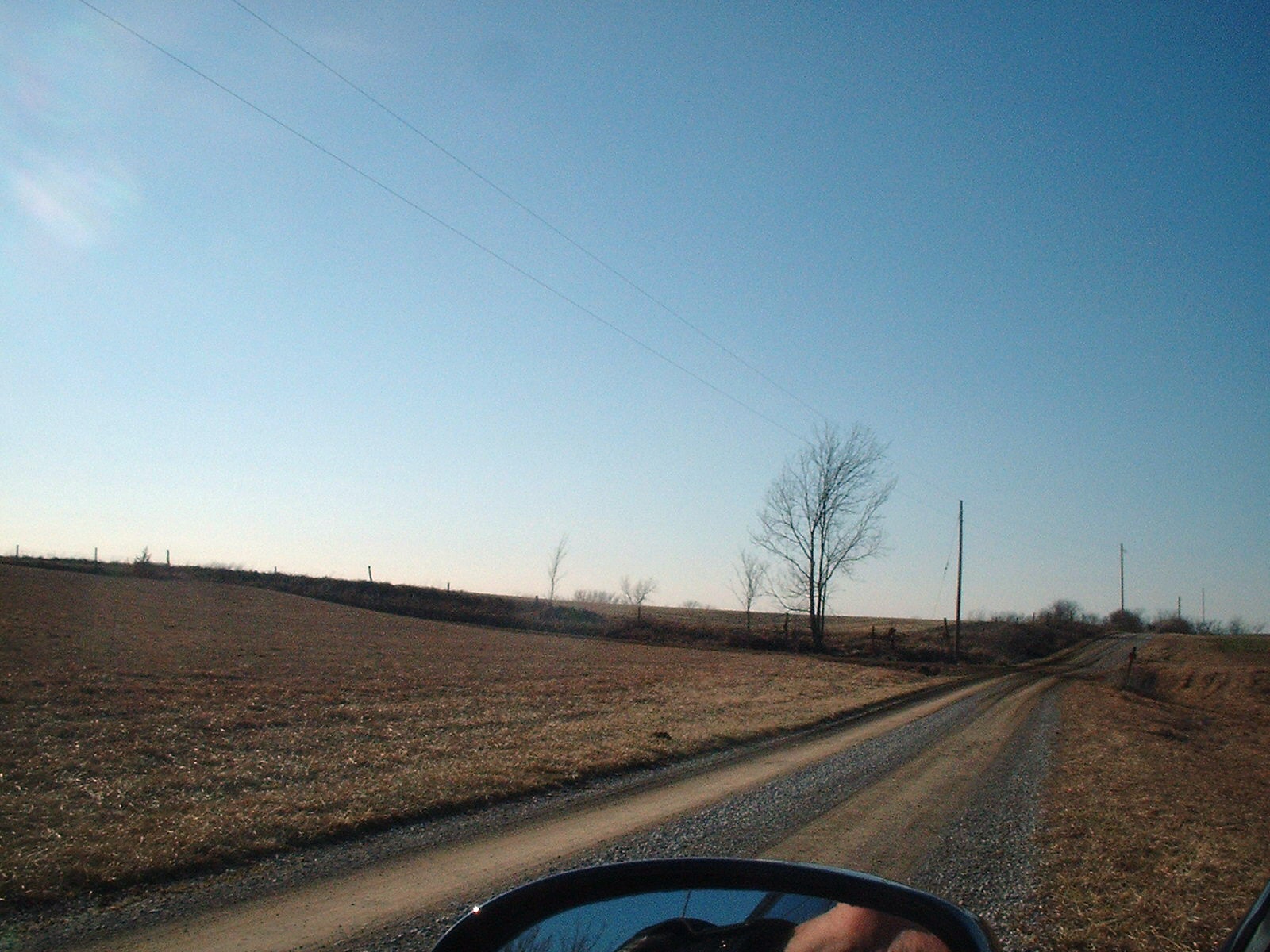
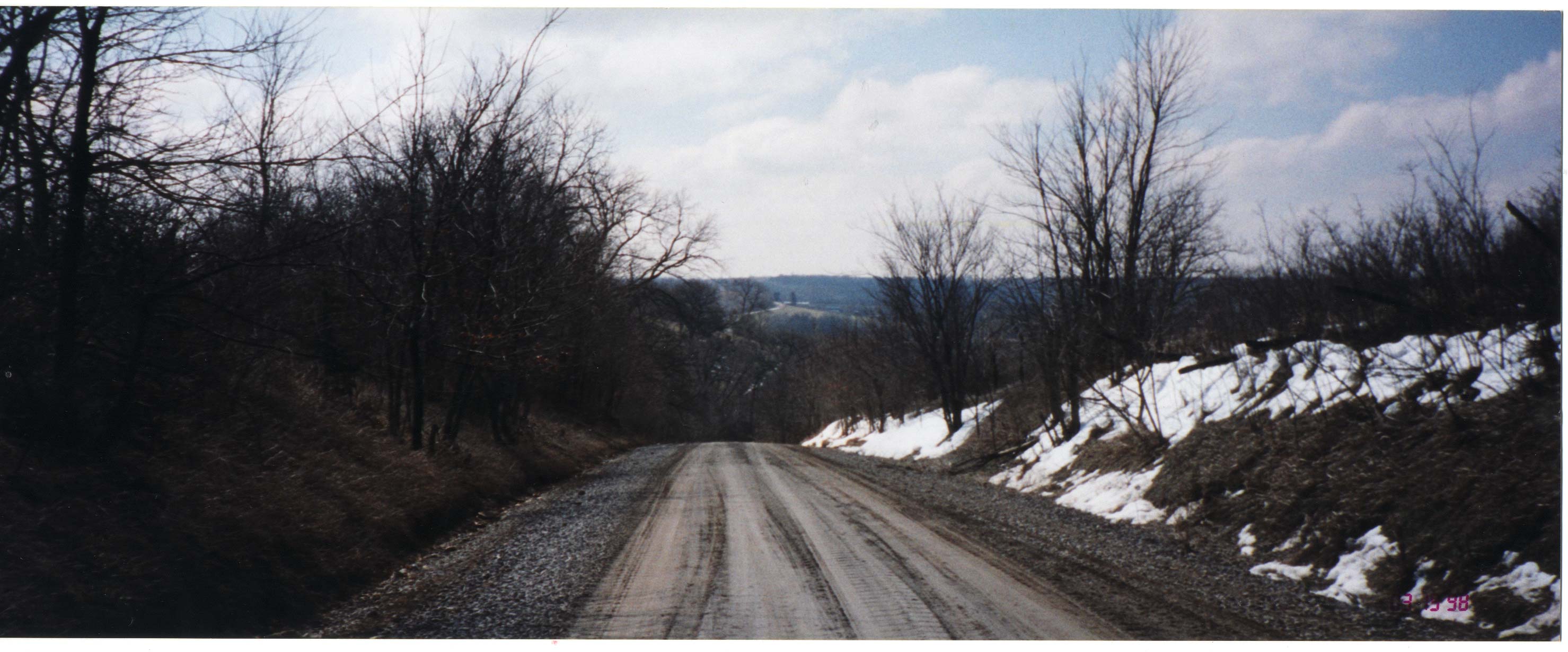
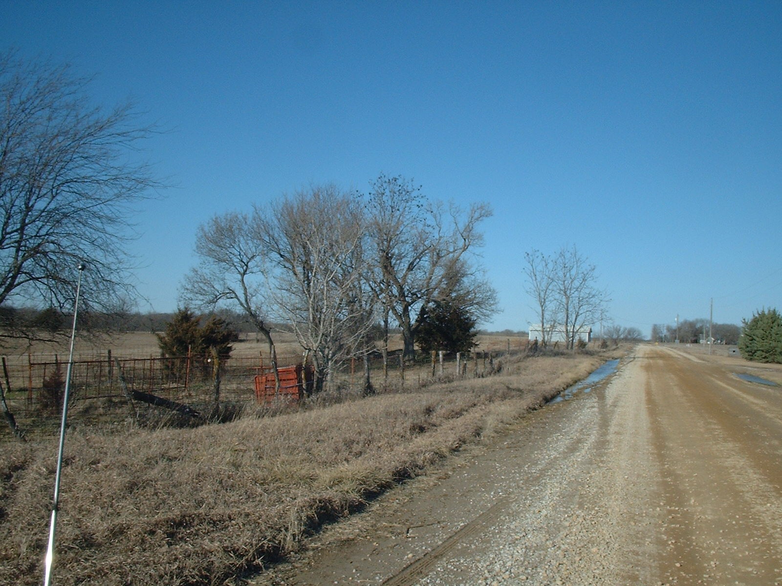
MT. PLEASANT: Sec Road 9
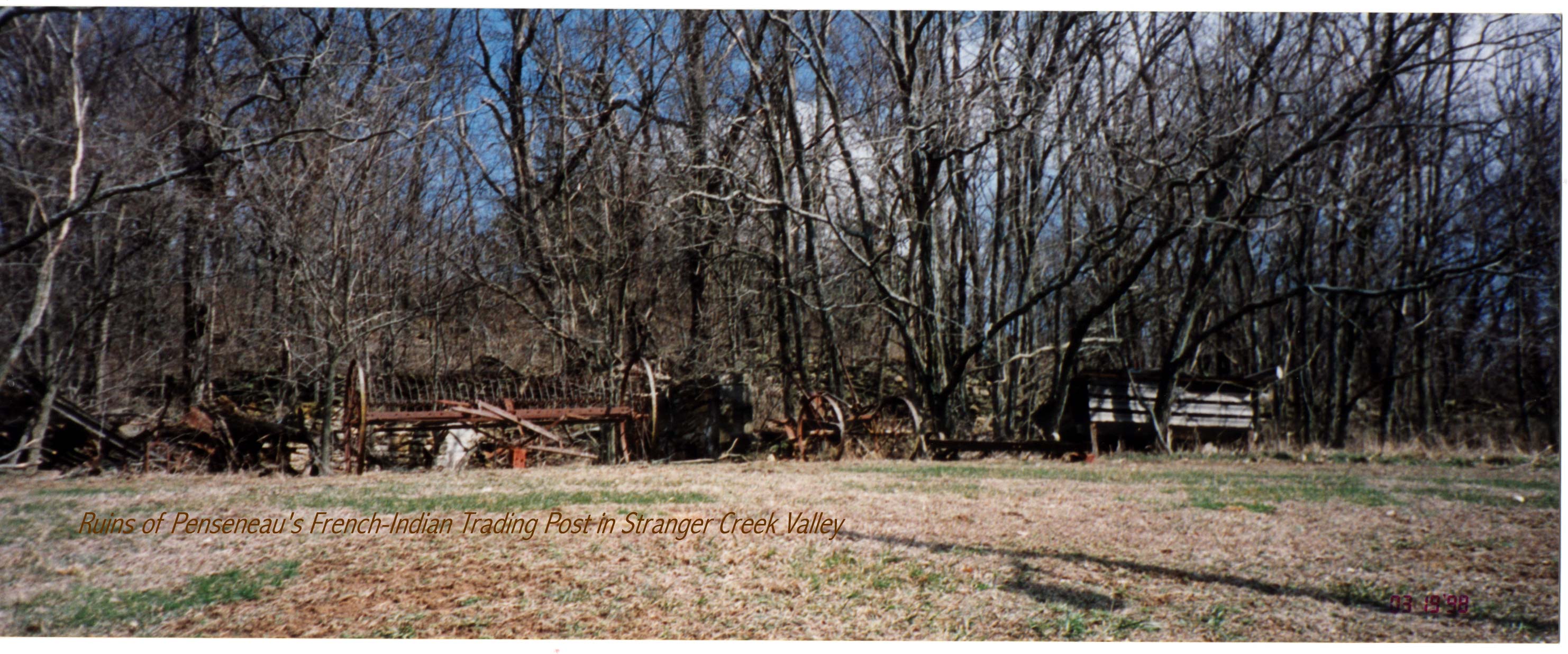
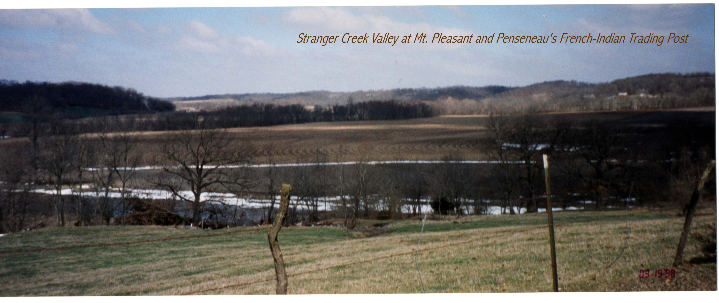
MT. PLEASANT: Stranger Creek -Ponseneau's French-Indian Trading Post
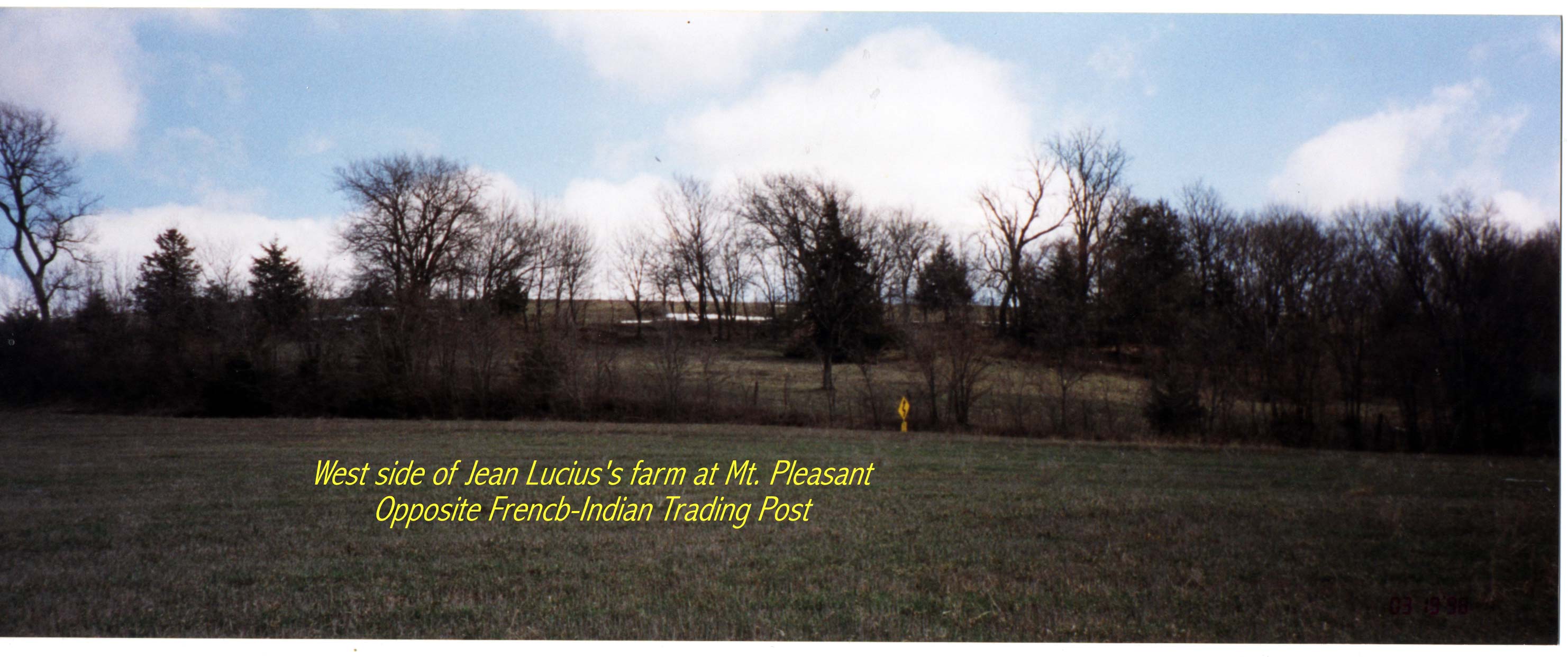
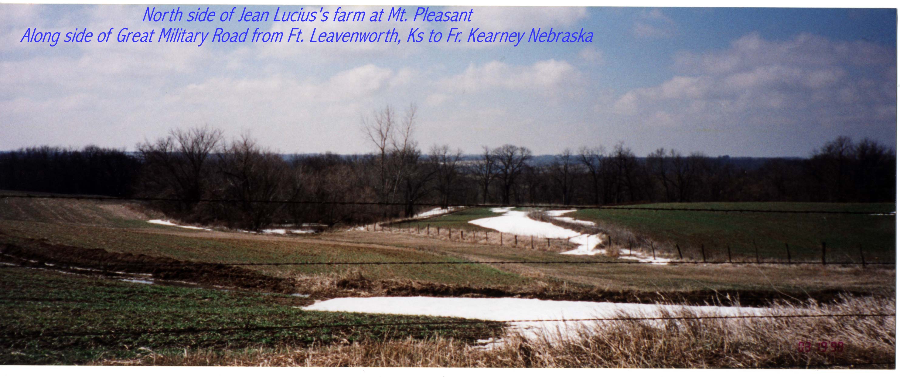
MT. PLEASANT: West Side of Jean Lucius Farm
MT.PLEASANT-A view toward Missouri River Valley from the old "downtown" of Mt. Pleasant
MT.PLEASANT-Another closer view of the old Mt. Pleasant community going south
MT.PLEASANT-Bank of the Original Great Military Road from Ft. Leavenworth in Old Mt. Pleasant2
MT.PLEASANT-Closer to what used to be the town of Mt. Pleasant looking south
MT.PLEASANT-Sec Road 4
MT.PLEASANT-Site of the old Mt. Pleasant Hotel
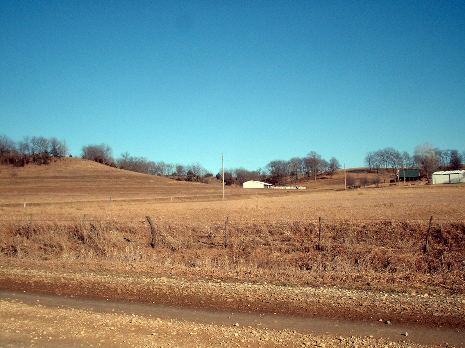
MT.PLEASANT: Contemporary road approaching Mt. Pleasant going south
MT.PLEASANT: Jean Lucius Farm in Stranger Creek Valley
MT.PLEASANT: Jean Lucius Farm-Great Military Road
MT.PLEASANT: Old Section road to the South and East of John Lucius Farm
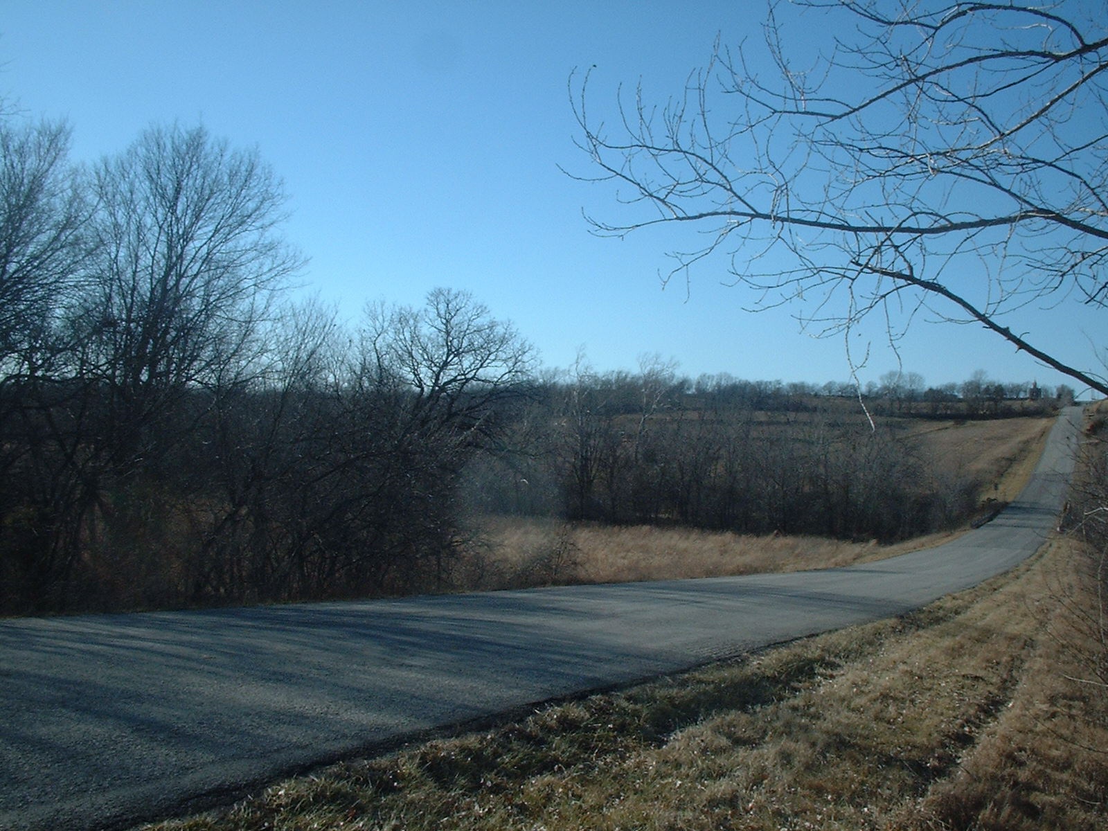
MT.PLEASANT: Sec Road 3
MT.PLEASANT: Sec Road 5
MT.PLEASANT: Sec Road 6
MT.PLEASANT: Sec Road 7
MT.PLEASANT: Sec Road 8
MT.PLEASANT: Section Road1
MT.PLEASANT: Still another view of approach to the old town of Mt. Pleasant going south
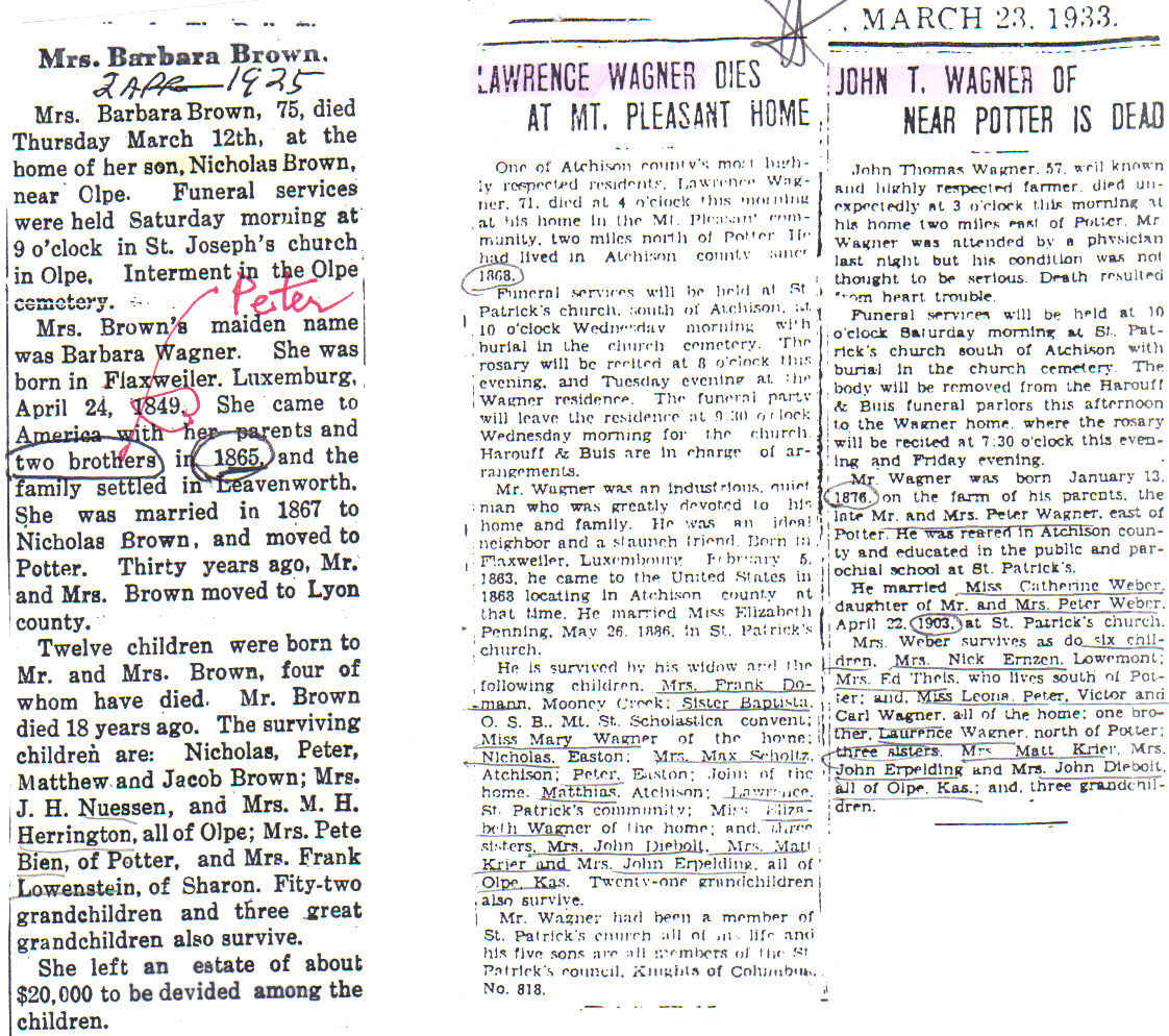
OBITUARIES: Barbara Wagner-Brown, Lawrence Wagner, John T. Wagner Obituaries
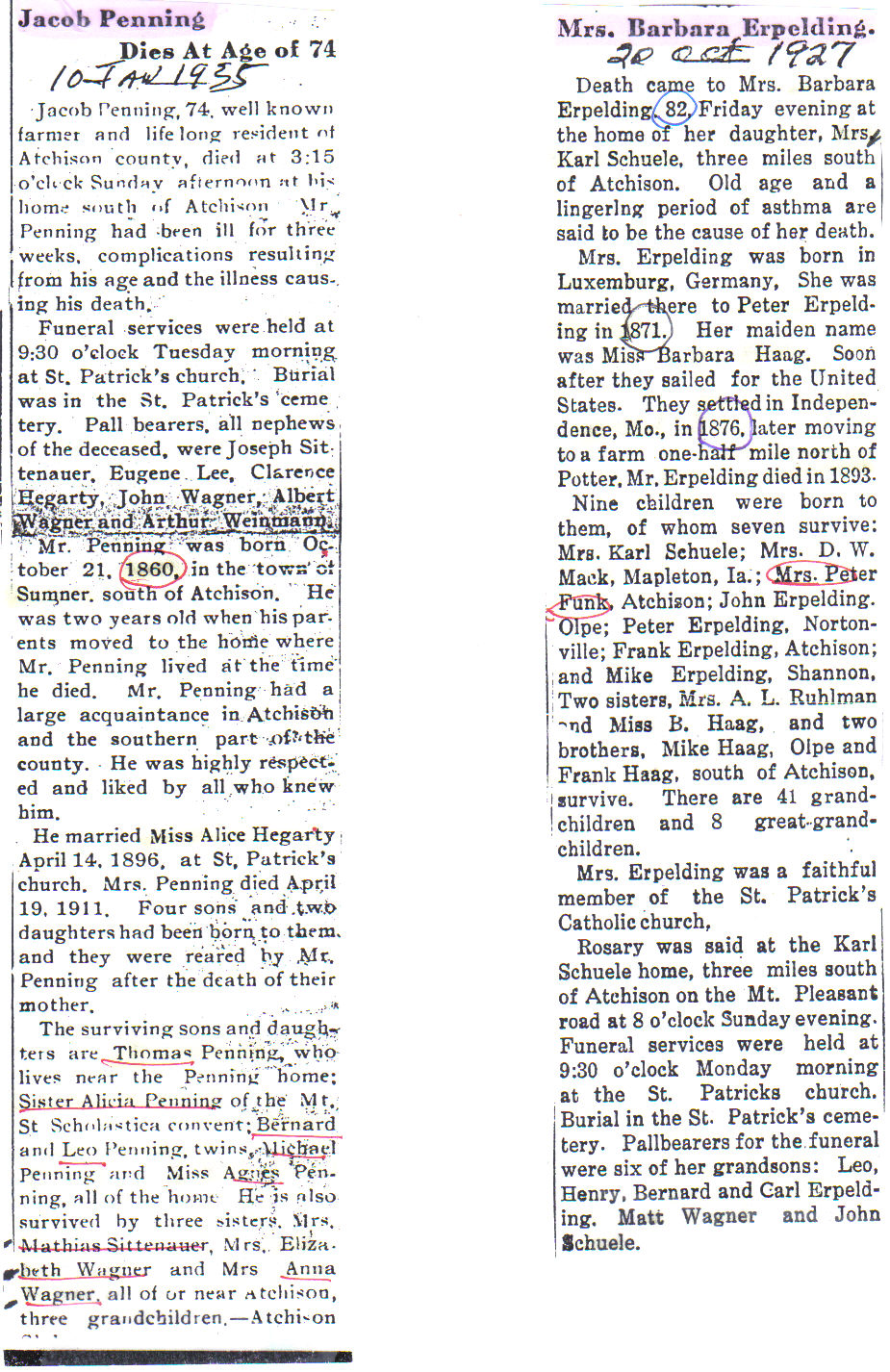
OBITUARIES: Jacob Penning and Barbara Haag-Erpelding obituaries
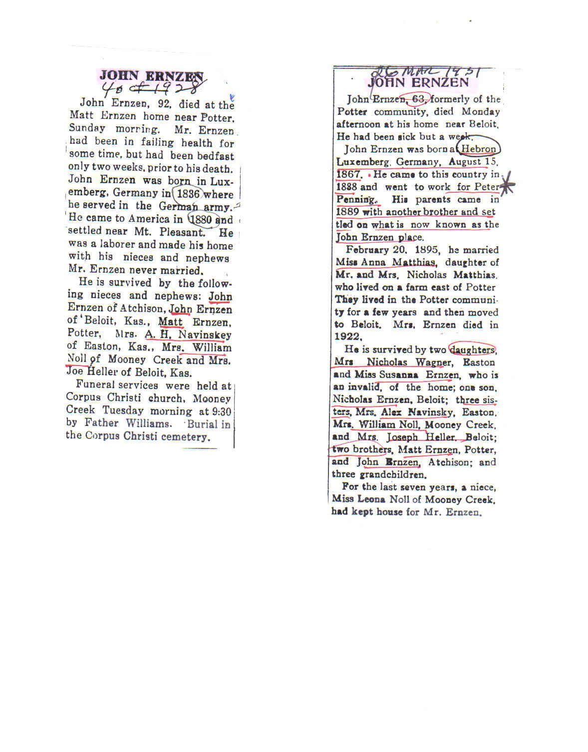
OBITUARIES: John Ernzen I and II Obituaries
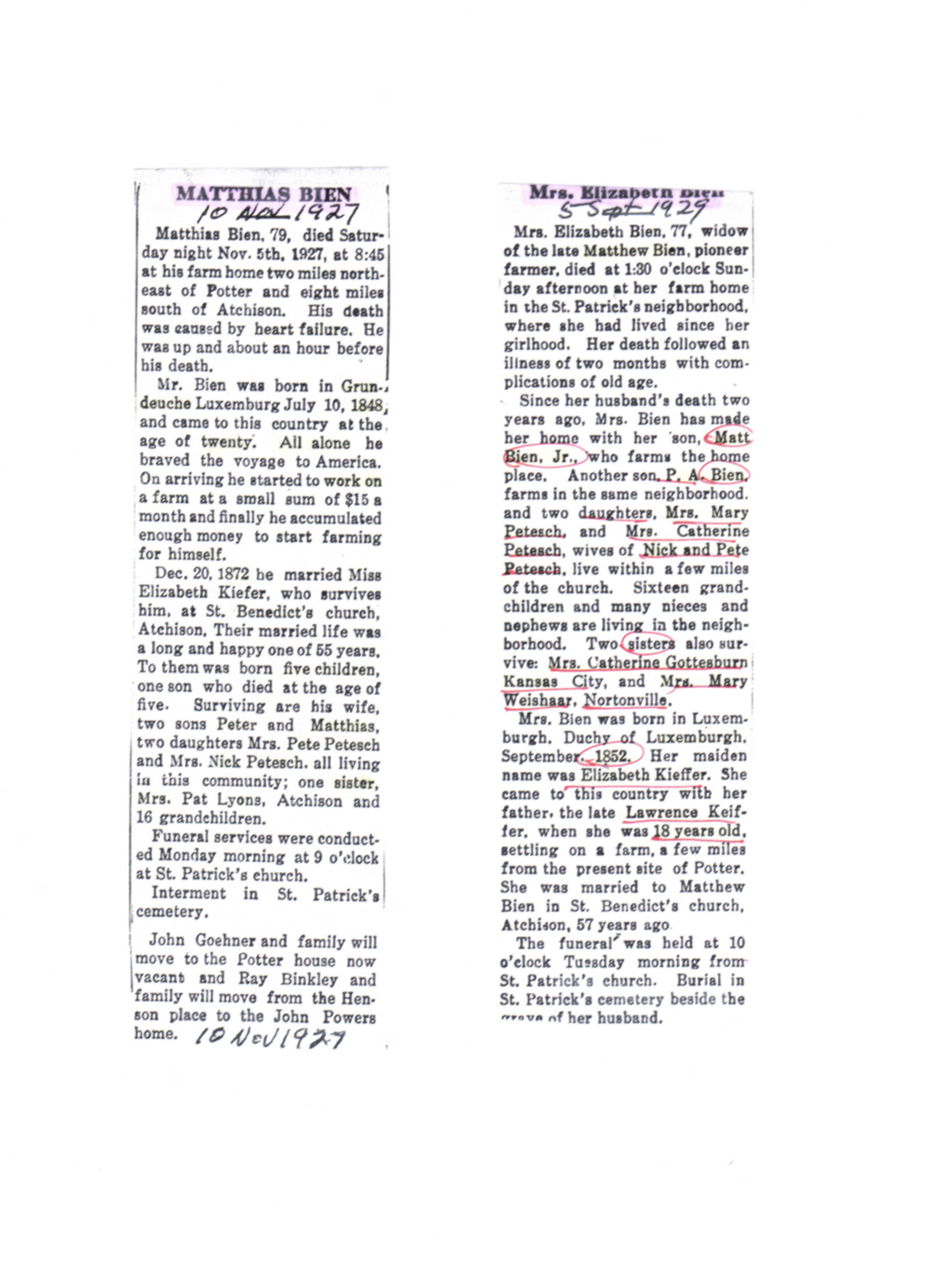
OBITUARIES: Matt Beien and Elizabeth Kieffer Obituaries
Click on the thumbnail to enlarge or on the title for image details
Next
Home
Search
Links
Documents
Places
Gallery
Last Names
Finding PLACES in the Family Tree Database
Relationships
Timeline
Branches
Calendar
Blog
Birthplaces
Genealone
Overview of ENTIRE WEBSITE
Suggest new information
Log in
or
Register